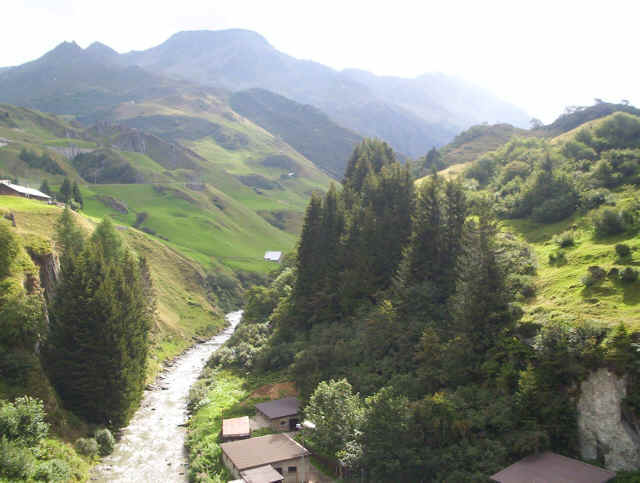
THE UNTERALPTAL
To see Swissgeo maps for this area click on the "MAP" button
![]()
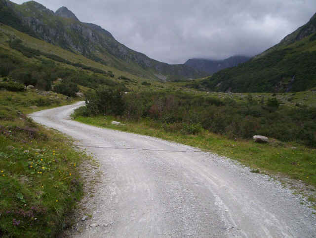
This walk leaves Andermatt along the main road to the Oberalp Pass before leaving it along a paved lane, which eventually changes into a dirt track for its entire length. The track eventually leads to the Vermigel-Hütte. The Unteralptal is a quite spectacular and unspoilt valley (an unusual thing in the Swiss Alps!) down which flows the Unteralpreuss river. The track serves various barns and, I think, the Gotthard electricity company's instalations.
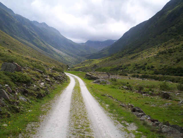
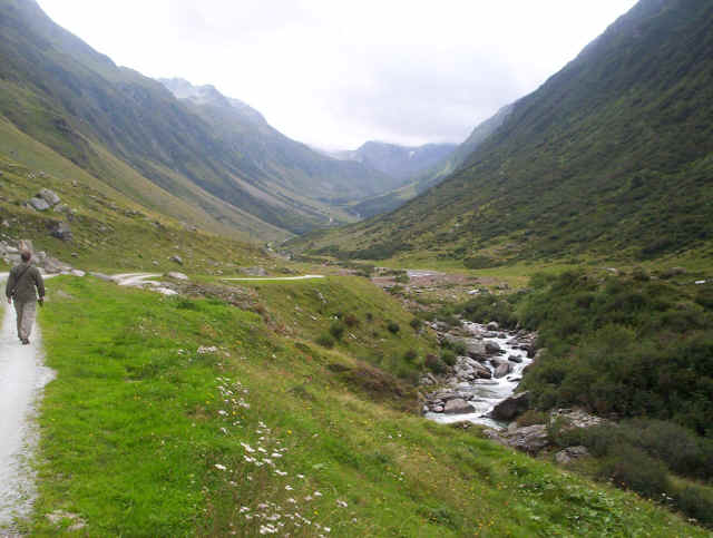
The track climbs steadily but not particularly steeply first above a narrow gorge near the entrance to the valley, and then into a more open section where there have been several fairly large rockfalls. A second path from Andermatt joins the main track at a bridge, which gives an alternative route back to Andrermatt. Here the main track begins to climb slightly more steeply to reach the upper part of the valley. We stopped at about 1800m but the track continues further up the valley to about 1978m where a path leads up to the hut at 2042m.