Orkney Islands journey (May and June 2010)
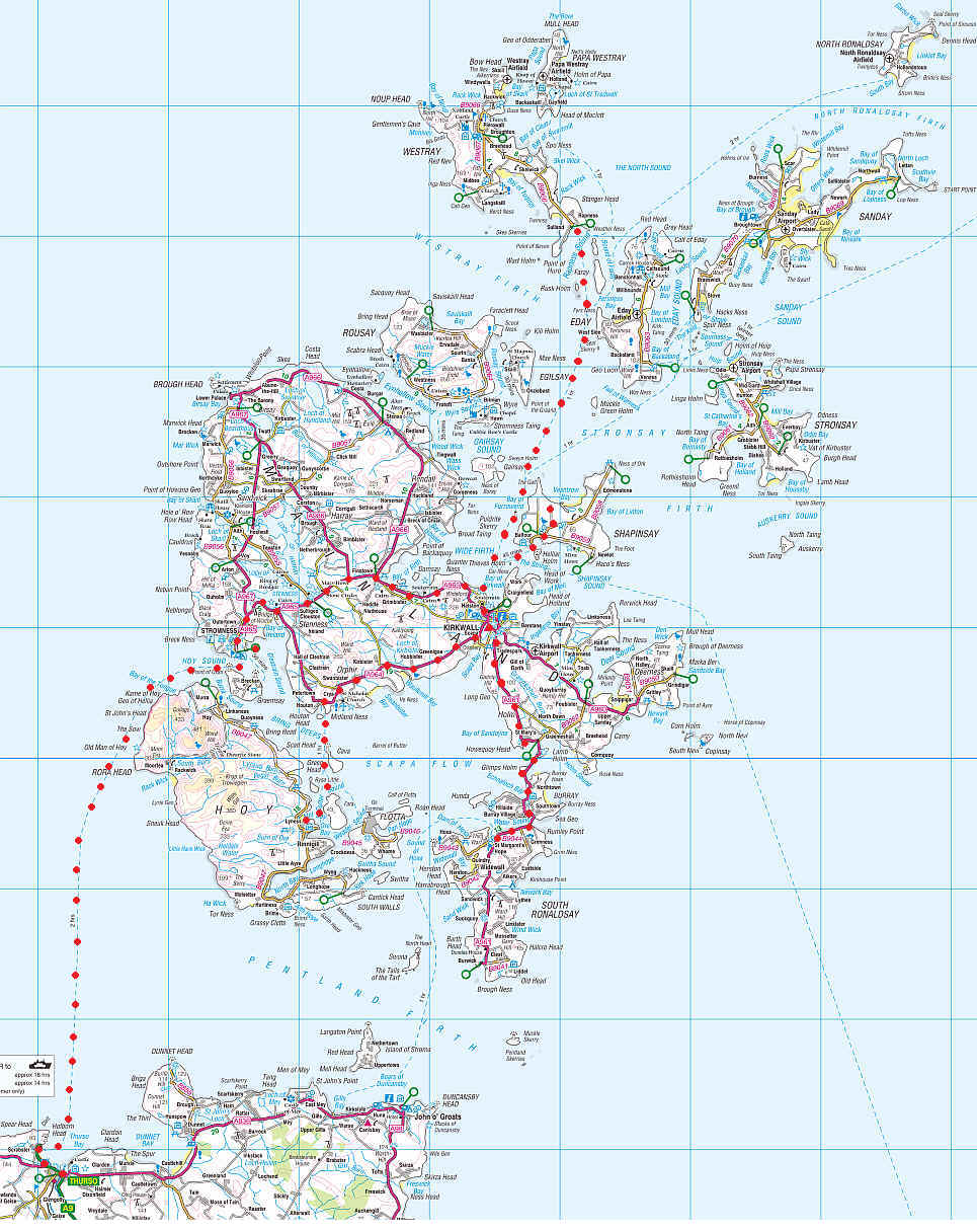
The map below shows our ferry journey from Thurso to Sromness and the various bus and ferry journeys we made within the Orkney Islands.
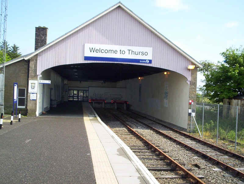
Our Orcadian journey really started with the long train journey from Inverness to the most northerly railway station in Britain at Thurso.
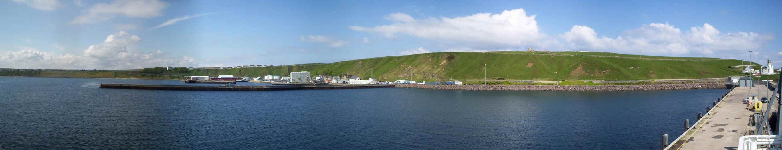
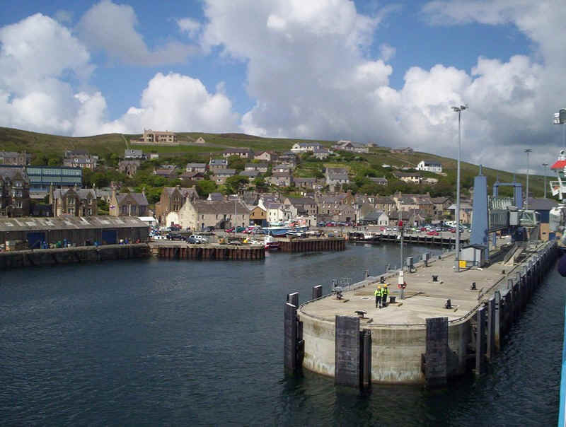
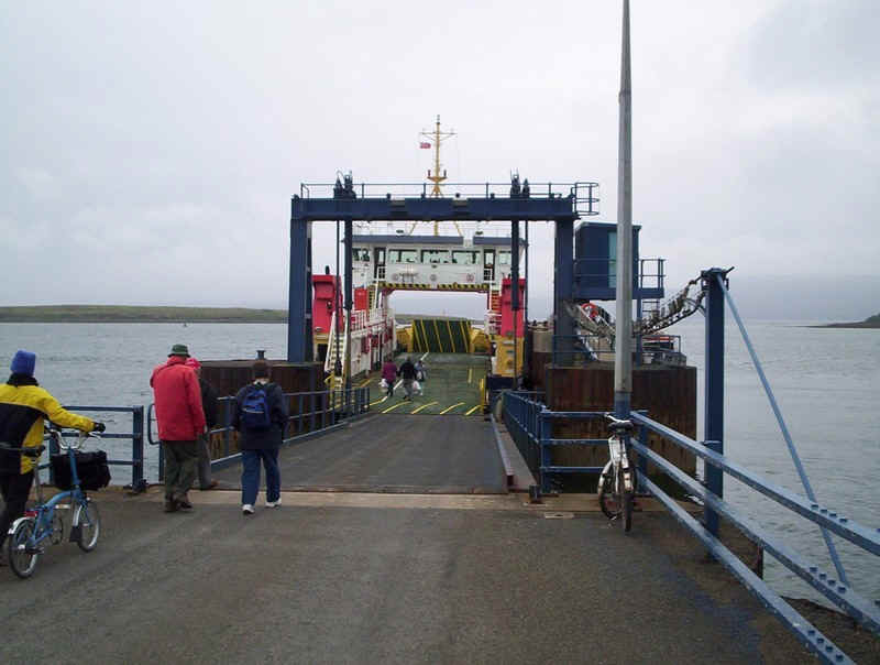
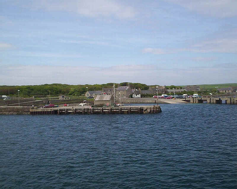
The following day, a Sunday, we took the bus from Thurso to Scrabster. The image above shows the harbour with the new quay for the ferry to the Orkneys on the right, and the old quay in the middle.
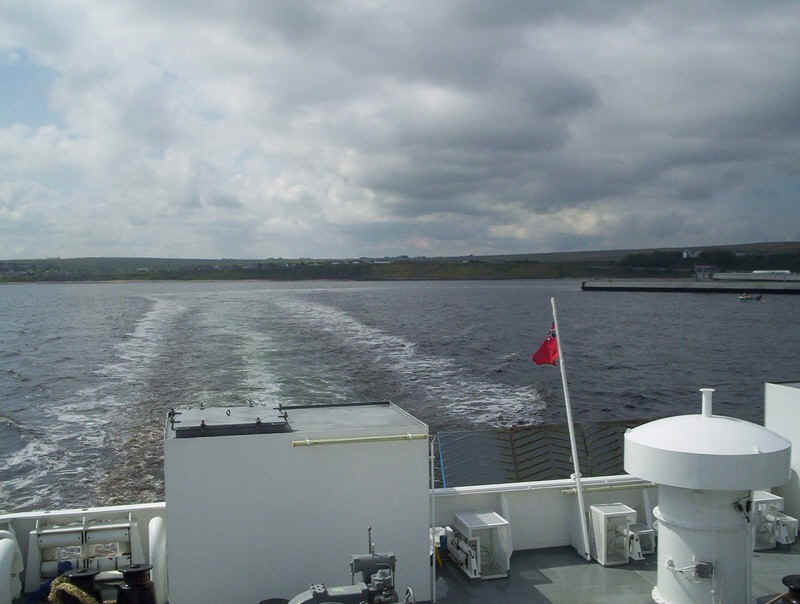
Leaving Scrabster aboard the "Hamnavoe".
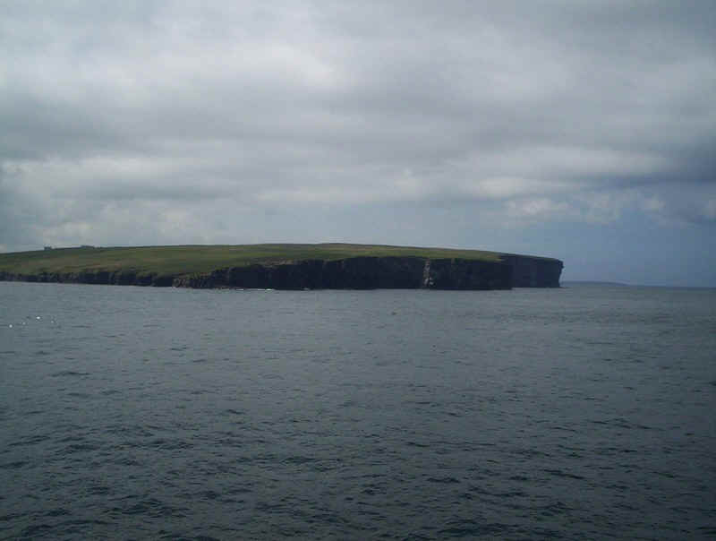
The cliffs along the northern edge of the Scottish mainland looking westwards to Holborn Head..
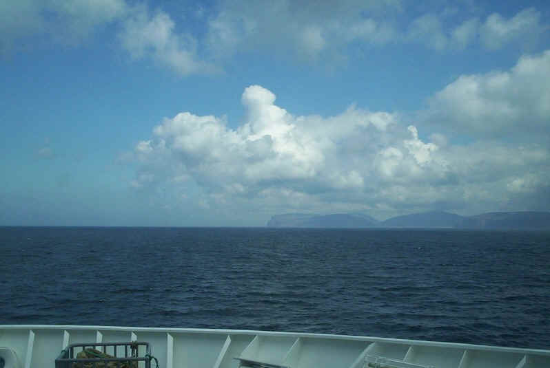
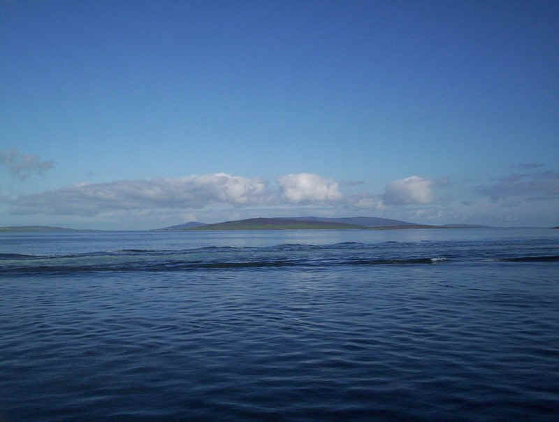
The Orkneys come into view with the island of Hoy and its cliffs.
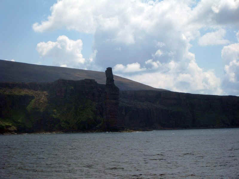
The rock stack of the Old Man of Hoy was rather difficult to photograph in the lighting conditions.

St John's Head at the north end of Hoy.
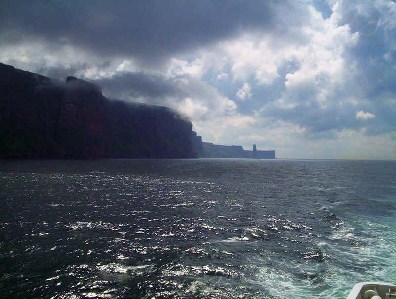
A dramatic view along the western cliffs of Hoy with the Old Man of Hoy silhouetted in the distance.
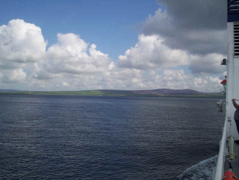
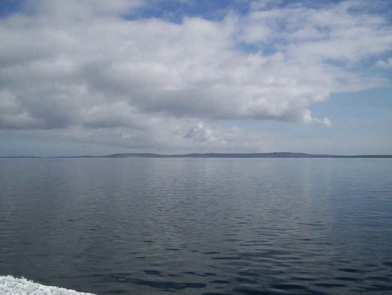
The Mainland of Orkney comes into view.....
.....and the approach to Stromness.
Berthing at the new terminal at Stromness.

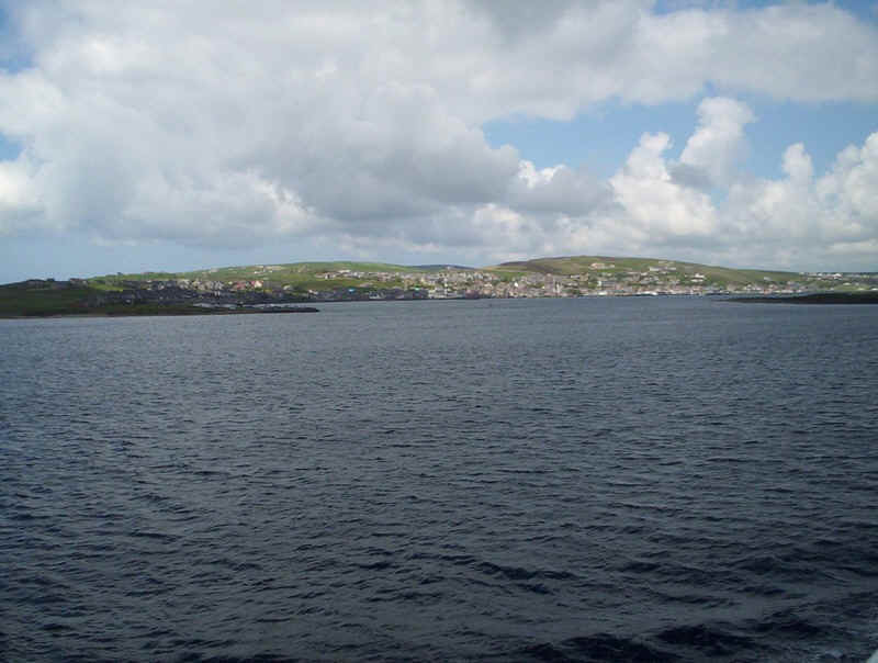
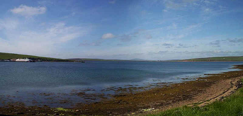
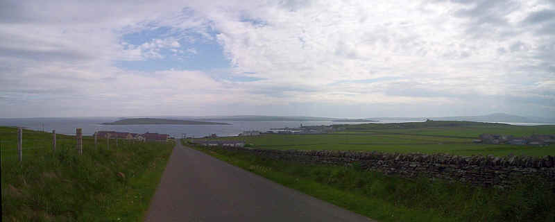
Click on the panoramic view of Stromness, with Hoy in the background, to see a larger image.
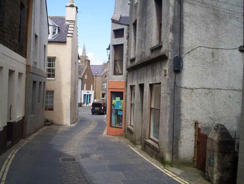
The narrow main streets of Stromness are the most obvious feature of the town....
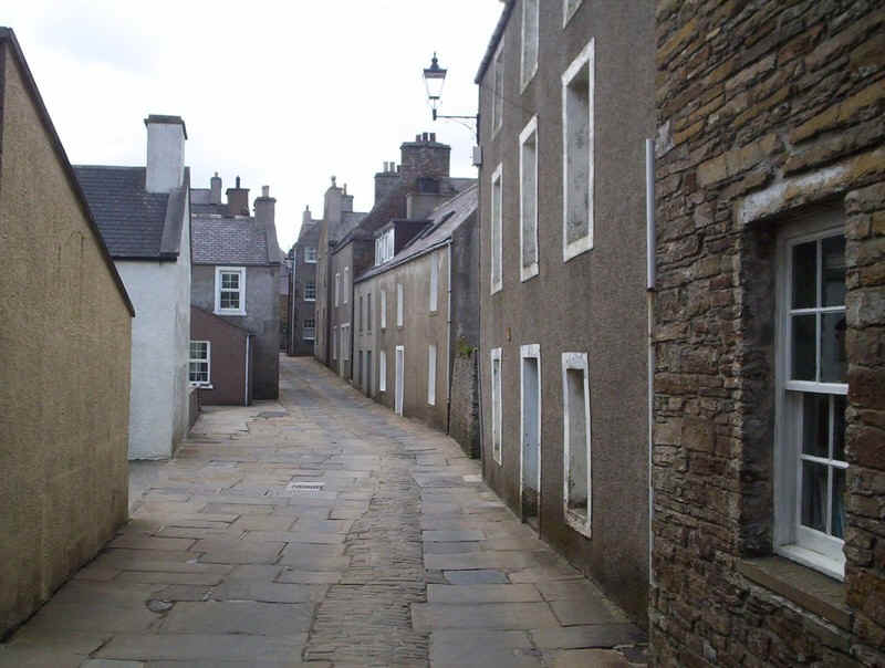
......and are a hazard to both traffic and pedestrians!

The "Hamnavoe" berthed at Stromness.....
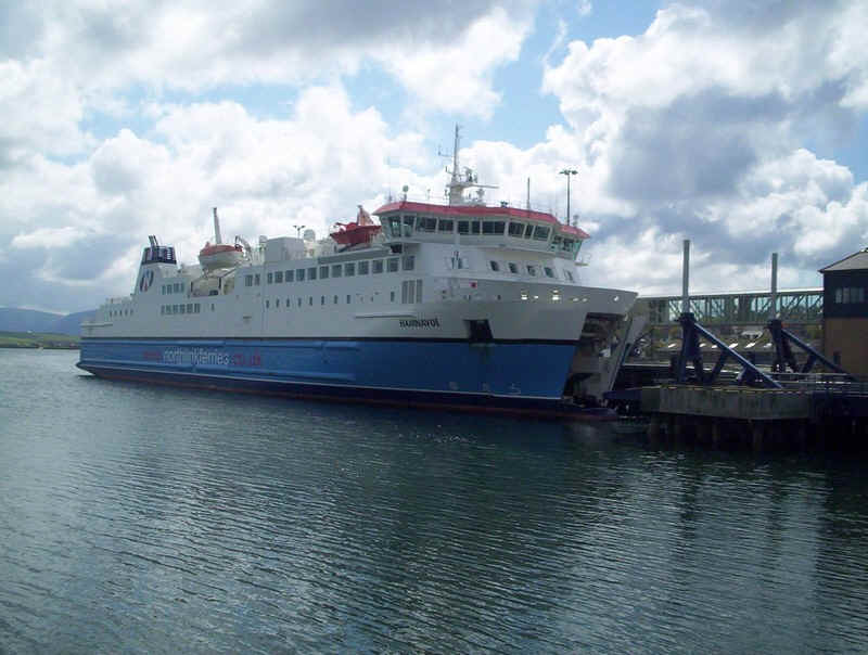
.....and seen from the opposite side gives an idea of her size.
We travelled by bus to Kirkwall where we stayed for two nights.
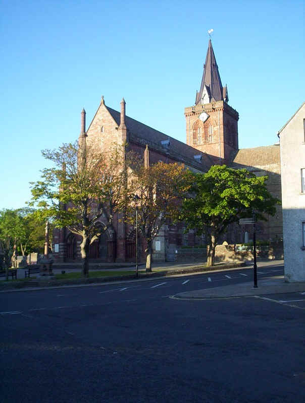
Kirkwall cathedral.
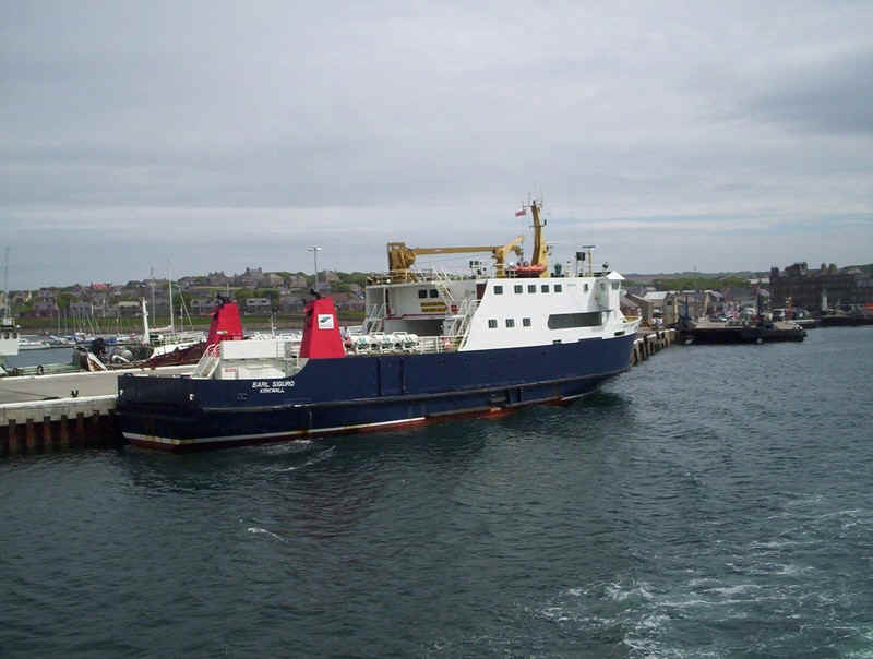
The next day we boarded the "Earl Sigurd", one of the three vessels of Orkney Ferries that maintain the northern isles routes. Our voyage was to Westray and back, a three hour journey.
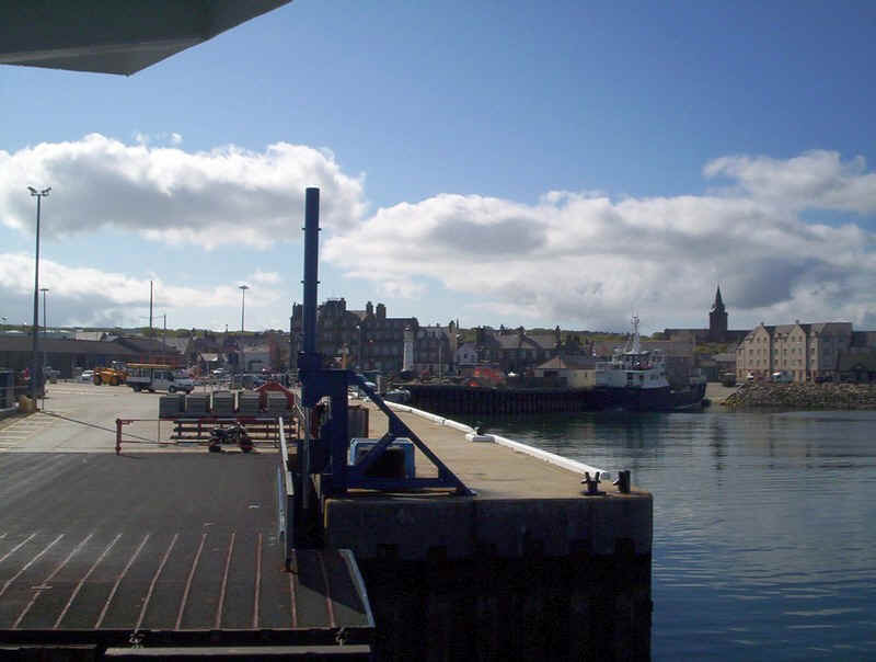
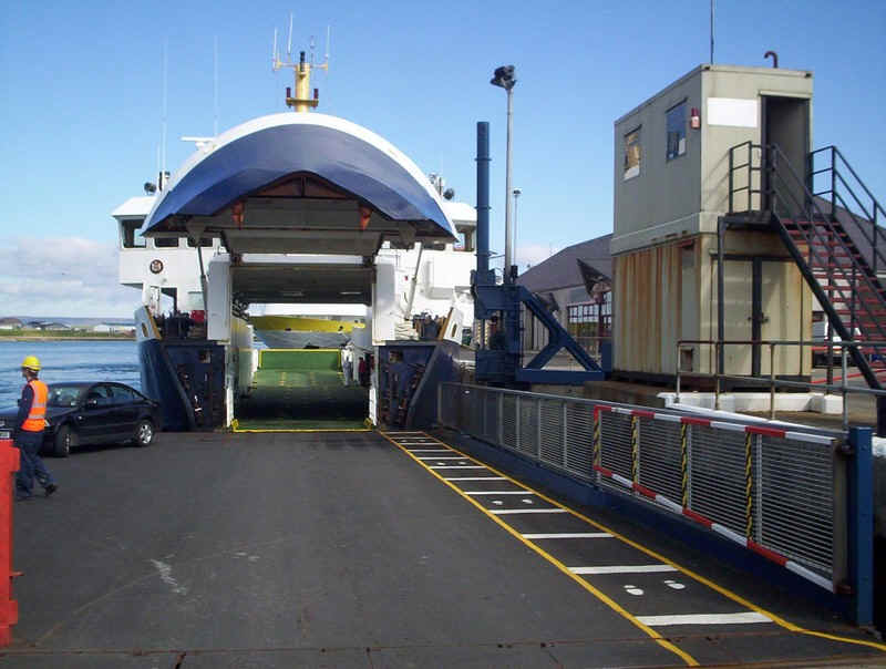
Kirkwall ferry terminal
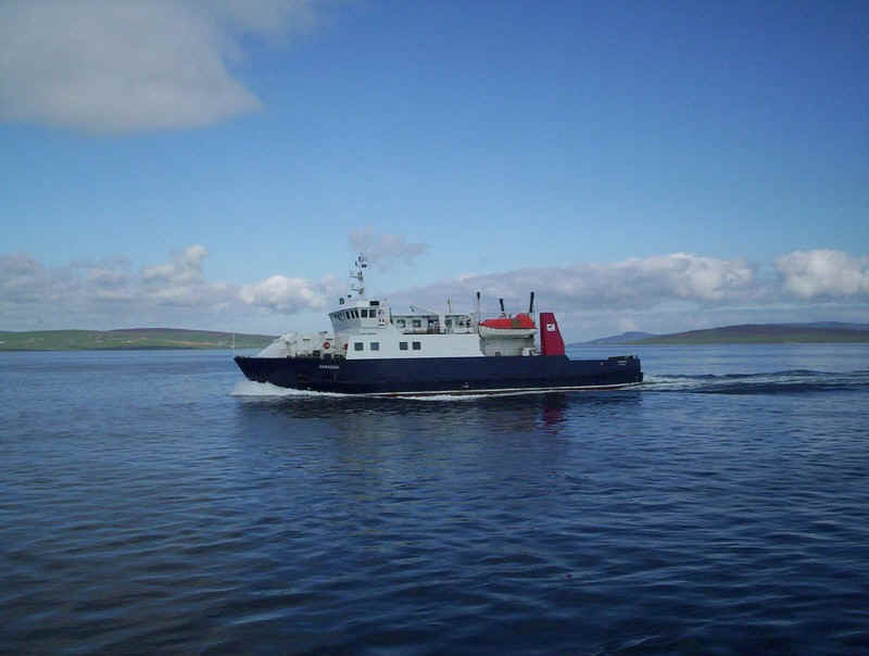
The "Varagen" is slightly larger than the other two ships on the northern isles services.
To the east is Shapinsay.
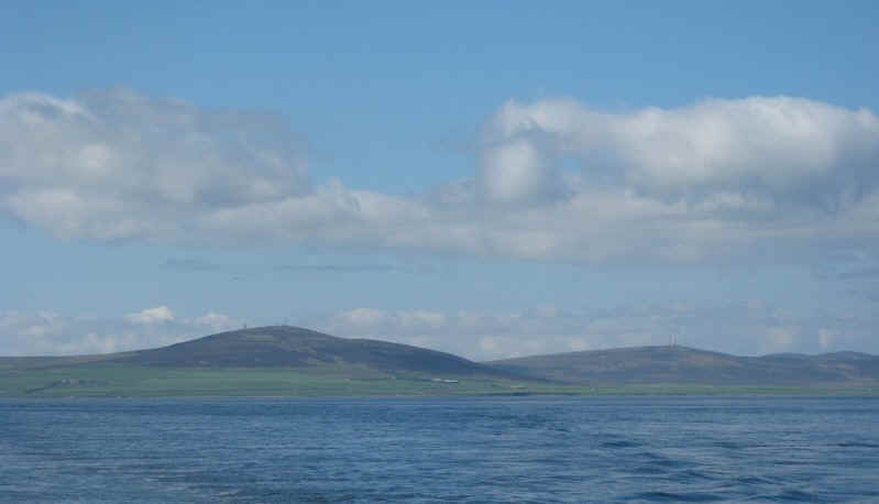
Identification of the islands isn't always easy but the presence of the various radio masts confirms this is the north end of the Mainland.
To the left is the tip of Mainland, then comes the Eynhallow Sound between Mainland and Rousay. The closest island is Egilsay with the hills of the larger island of Rousay beyond.
Over to the east is Eday
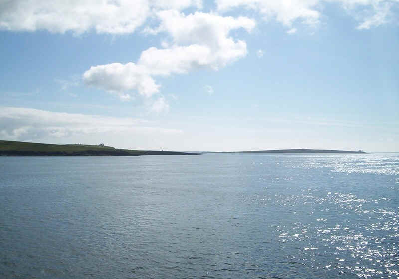
On the left the is the southern end of Westray with the cliffs of Red Head on Eday to the right.

A panoramic view of Eday from the quay at Westray.
Leaving the terminal at Westray.
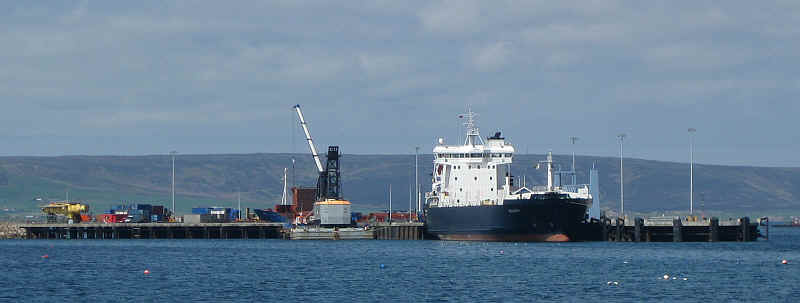
The Hatson ferry terminal on the outskirts of Kirkwall is where the Northlink sailings to Aberdeen and Lerwick depart. The ship alongside is the cargo ferry the "Hildasay".
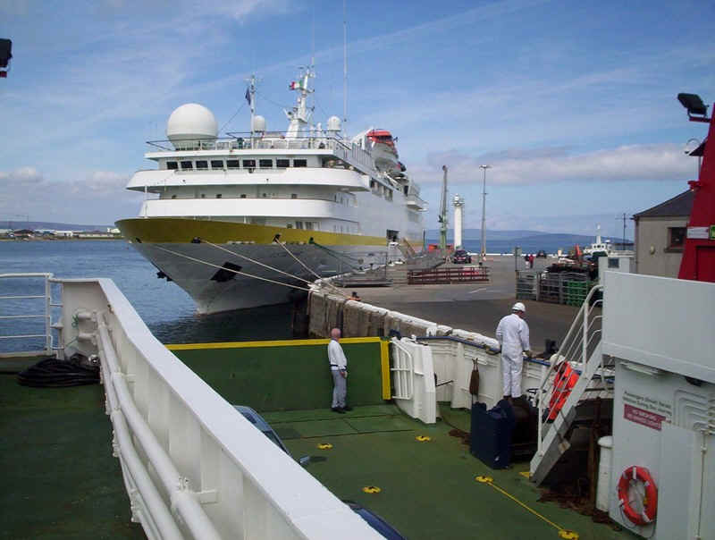
Alongside at the Kirkwall terminal was the Italian cruise ship, the "Vistamar".
We then took the bus from Kirkwall to to St Margaret's Hope, breaking our journey to visit the Italian Chapel.
The first of the Churchill Barriers links Mainland to the small island of Lamb Holme.
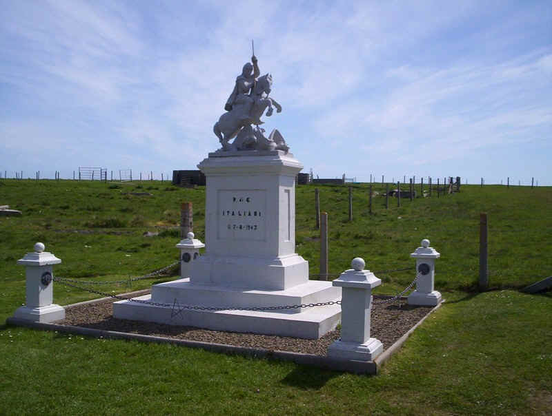
The memorial to the Italian prisoners of war.
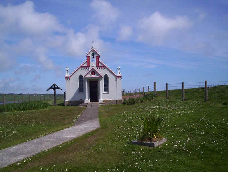
The Italian Chapel
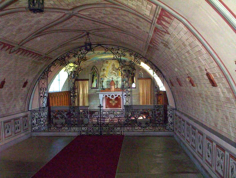
The interior of the Italian Chapel.
We then continued by bus across the island of Burray to St Margaret's hope on south Ronaldsay.
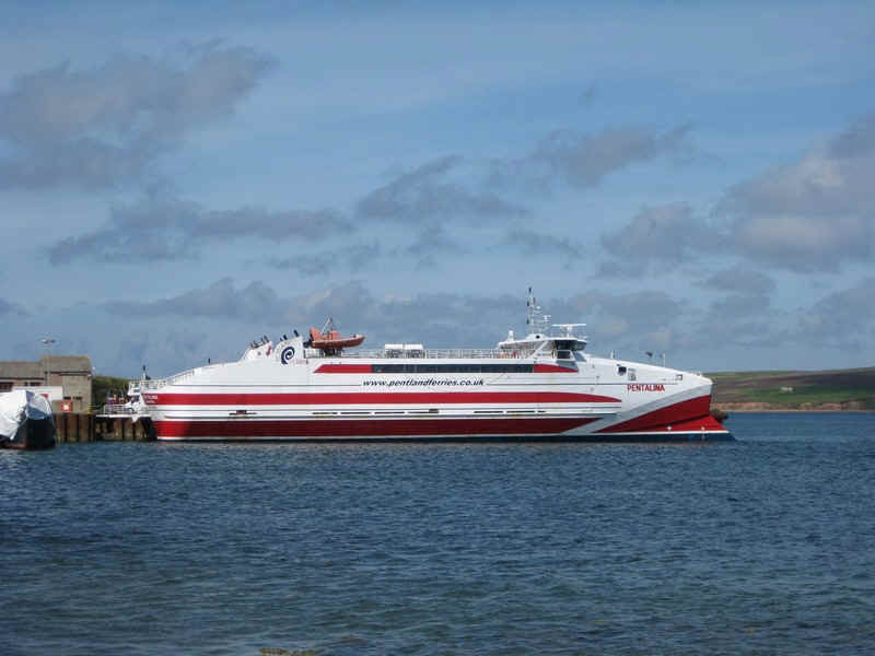
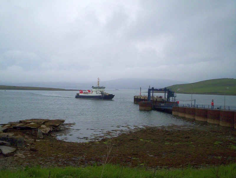
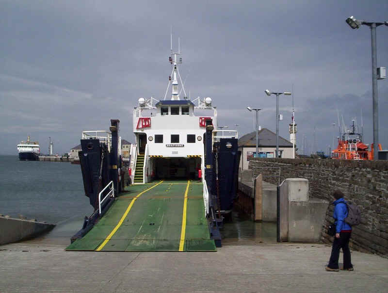
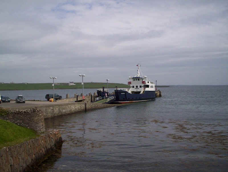
At St Margaret's Hope the catamaran "Pentalina" was unloading vehicles before returning to the Scottish mainland.
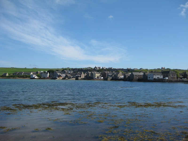
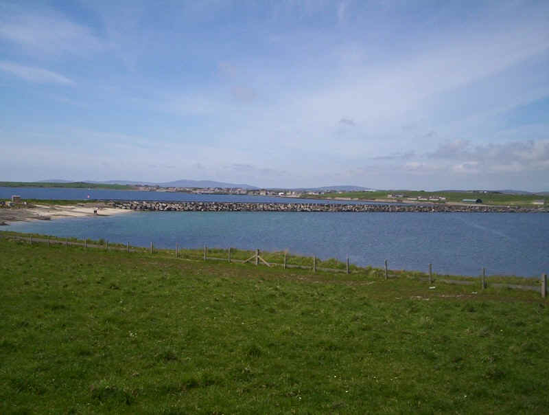
St Margaret's Hope seen from across the bay.
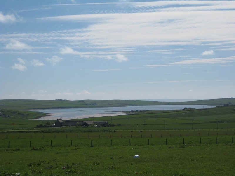
Viewed from the hill above St Margaret's Hope Widewell Bay appears to be a lake, but is connected to the sea to the right.
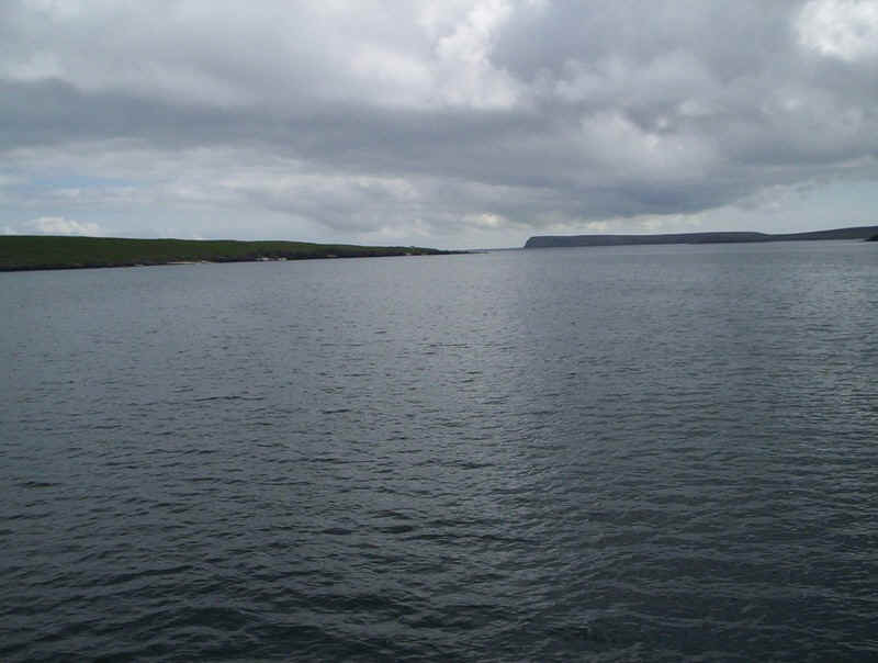
Looking down St Margaret's Hope (the name of the bay as well as the village) to Water Sound and the open sea to the left.
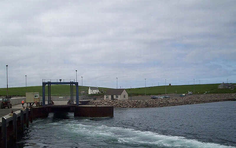
The next day we visited Hoy. The weather was quite poor with low cloud and a little drizzle. Here the ferry "Hoy Head" approaches the terminal at Houton.
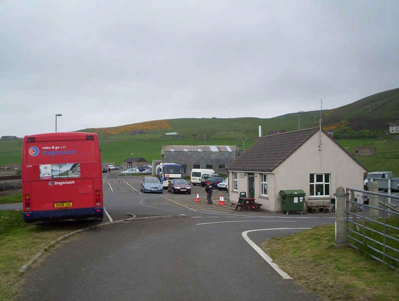
The bus from Kirkwall at the Houton terminal.
Boarding the "Hoy Head", which is probably the poorest of any of the ferries we've used -all seated accommodation is deep in the hull of the ship with no view.
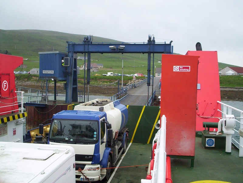
Part of the deck was closed off as a petrol tanker was using the ferry to deliver fuel to the island.
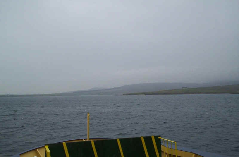
Crossing Scapa Flow to Lyness with the hills of Hoy in the background.
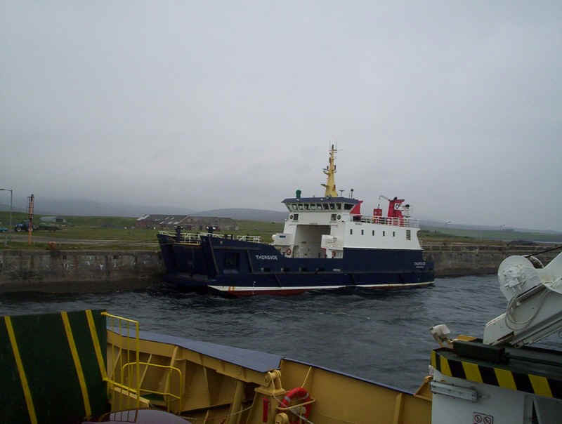
The relief ferry "Thorsavoe" was tied up at Lyness.
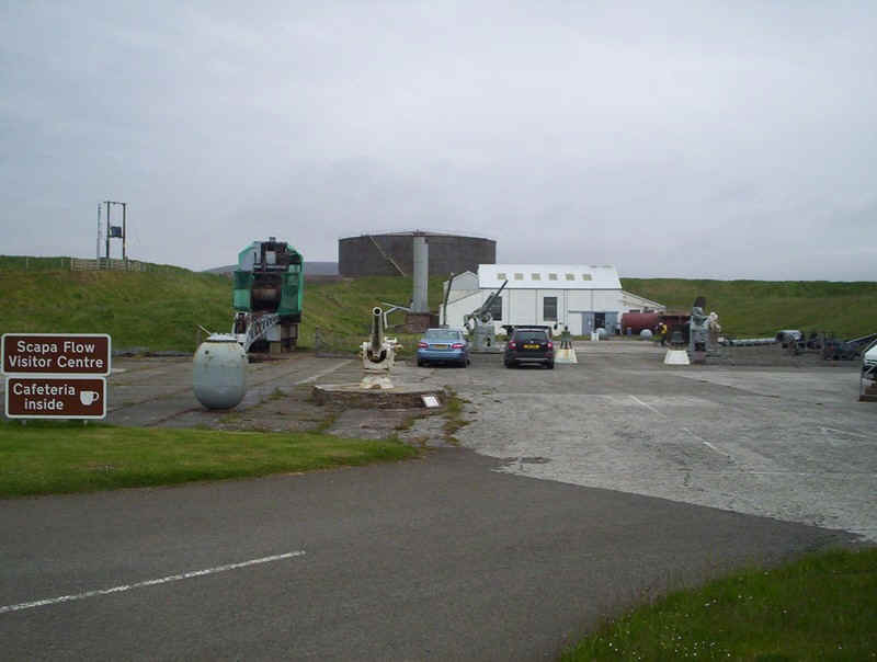
The main reason for visiting Hoy was to see the Scapa Flow Visitor Centre and its extensive exhibition about the military history of Scapa Flow.

After a few hours at Lyness we returned on the ferry to Houton.
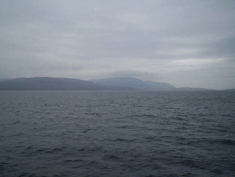
As we crossed Scapa Flow the mist began to lift and we were rewarded with this view of the hills on Hoy.
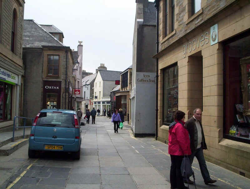
Back on Mainland we returned to Kirkwall which, like Stromness, has a main street shared by cars and pedestrians.
In the afternoon we took the "Shapinsay" across to the island of the same name. Accommodation on this ferry is much better with a lounge with a forward view. However, cars have to reverse on to the ferry!
As we left the "Earl Sigurd" was alongside.
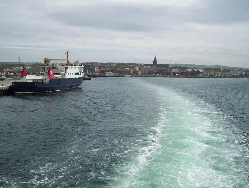
Heading out of Kirkwall harbour.
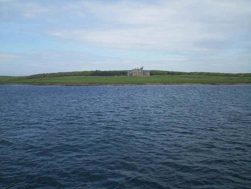
The most obvious feature on the approach to Shapinsay is Balfour Castle...
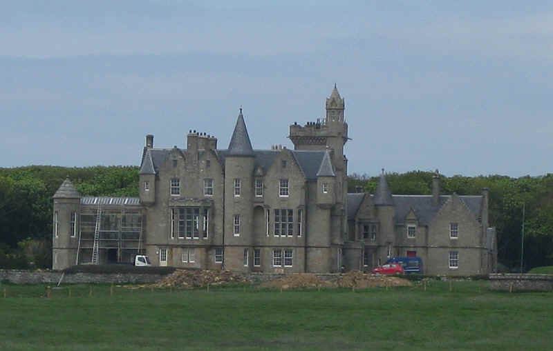
.....here seen in close up.
The harbour at Balfour.
The "Shapinsay" about to sail back to Kirkwall.
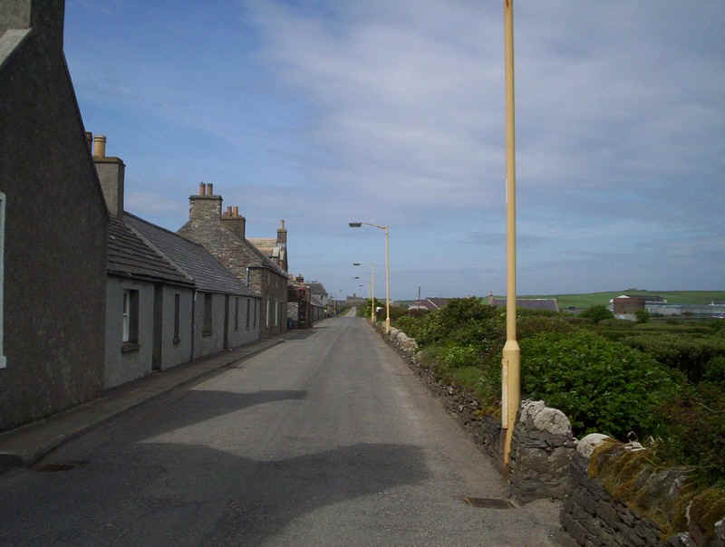
Balfour village main street.
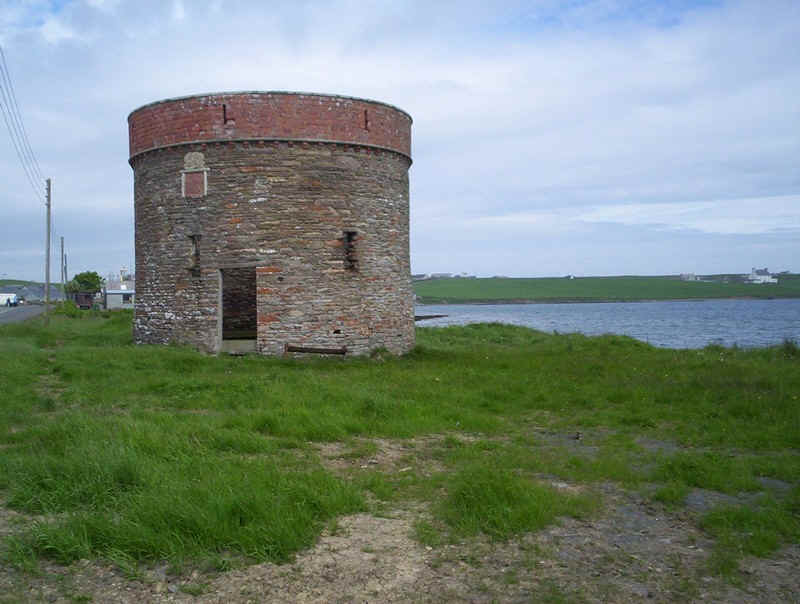
This curious tower was original part of the gas supply system.
Looking downhill towards Balfour with Mainland and Kirkwall in the distance.
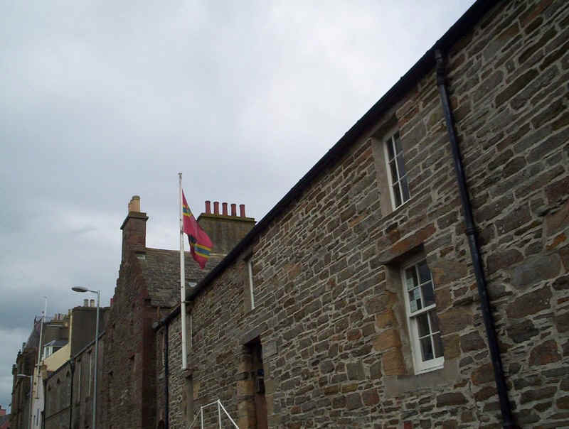
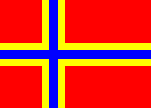
It's not a very good photo but this is the unofficial flag of the Orkney Islands. From a distance it looks like the Norwegian flag but the white is actually yellow.
Later that evening we walked out to the Hatson ferry terminal to take the overnight ferry to Lerwick in the Shetland Islands.