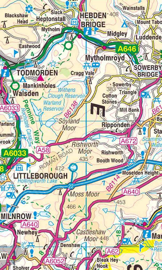
Day 3 - Standedge to Hebden Bridge
Click here for link to a GPS map of this section of the Pennine Way on Google maps
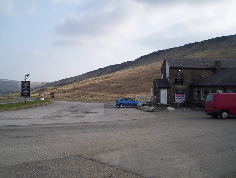
I stayed overnight at the "Carriage House" just east of the summit cutting at Standedge. On the hillside to the right of the hotel's signpost are two of the ventilation shafts of the railway tunnels from which came occasional clouds of condensation as trains passed through below.
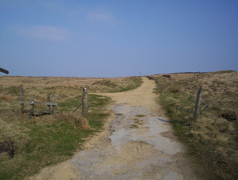
The PW leaves the main road on a broad track...
.....before turning onto the moor...
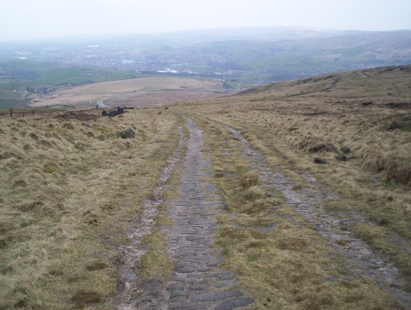
.....with views down to Diggle
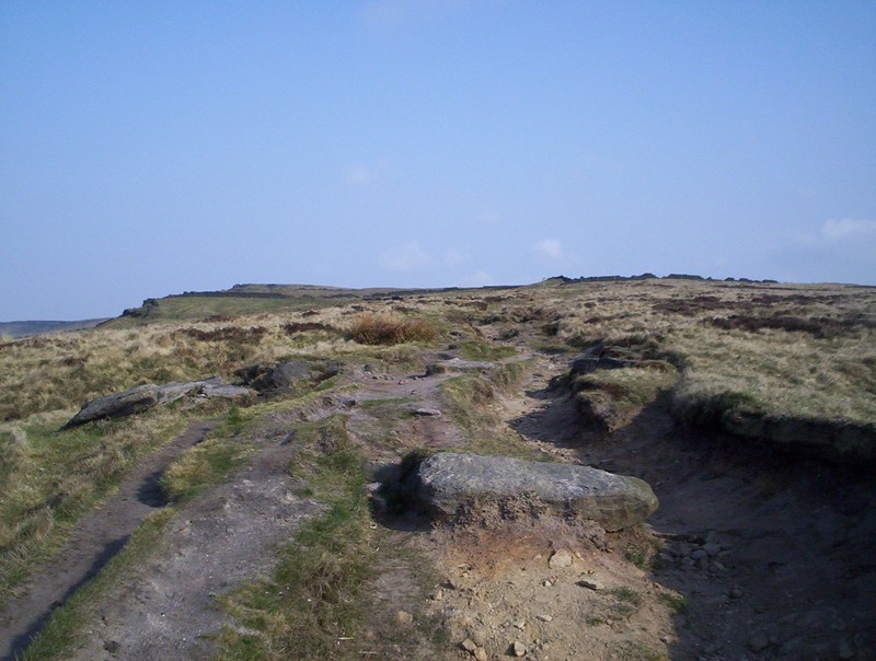
Heading gently uphill with....
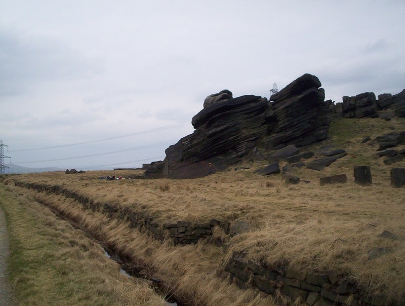
.....towards the millstone grit outcrops of Standedge.
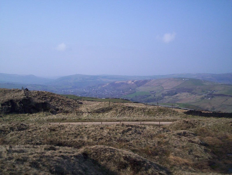
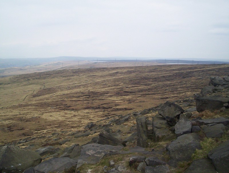
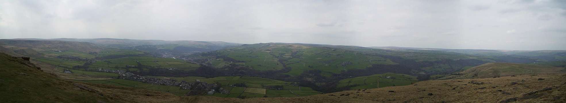
The views over Diggle and the moors towards Oldham are extensive. Click on the photo for a bigger image.
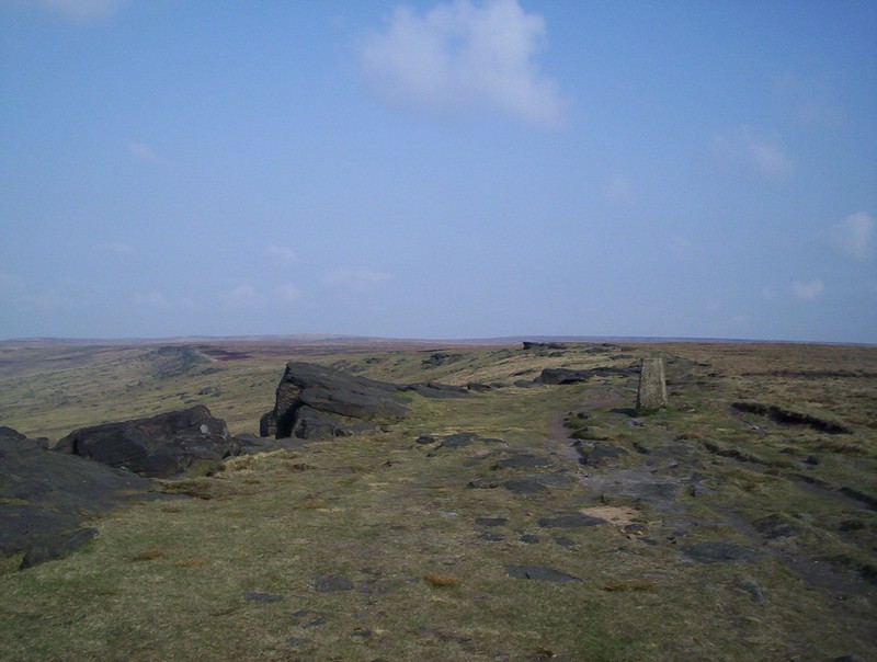
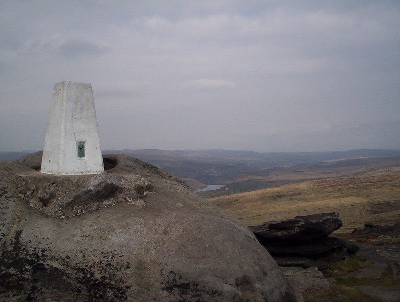
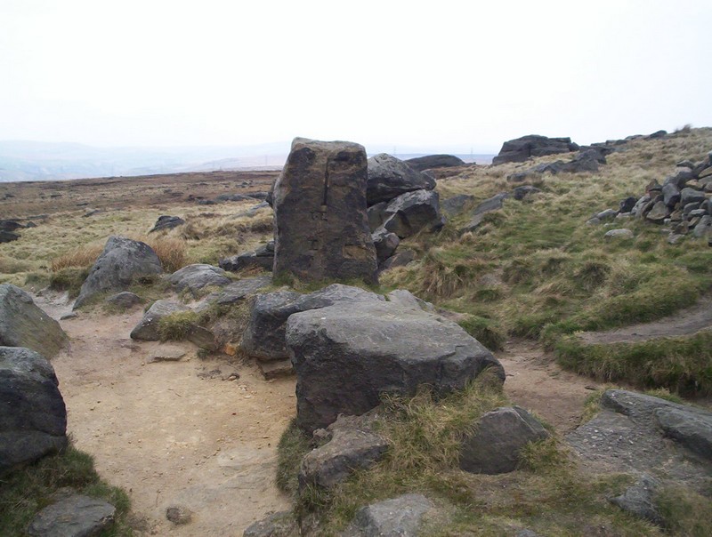
The trig point on Standedge at 448m above sea level.
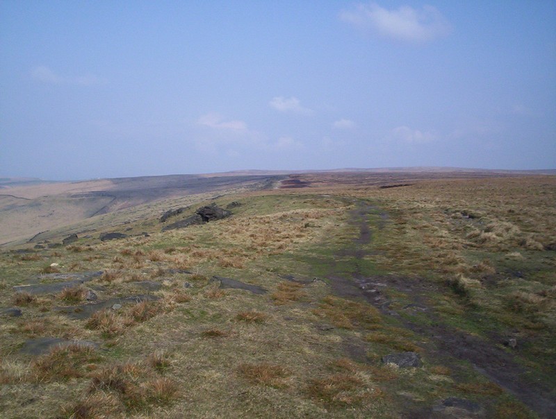
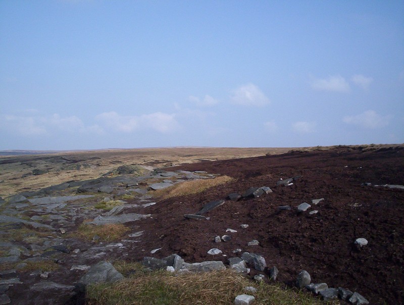
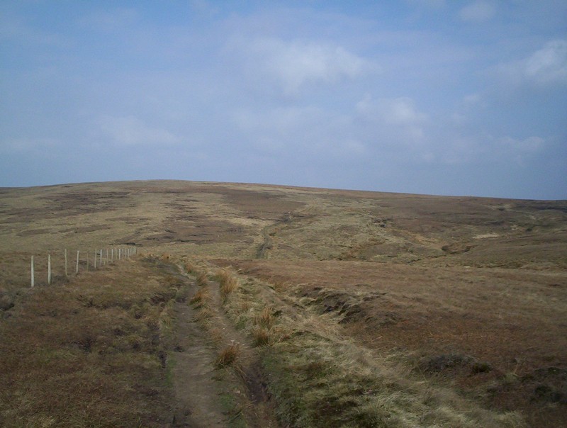
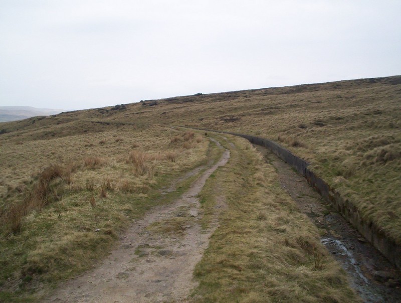
The path continues along the edge of Close Moss....
.....with plenty of peat to the right.
Yet more reservoirs down in the valleys.
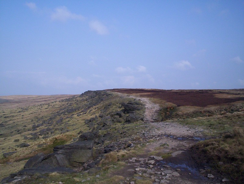
The path continues to skirt the peat before....
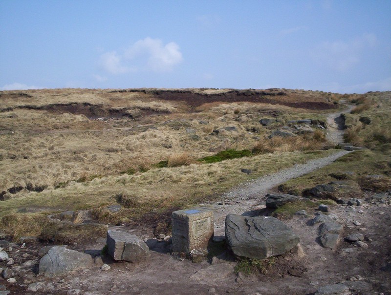
.....reaching this marker where the PW turns sharply north east....
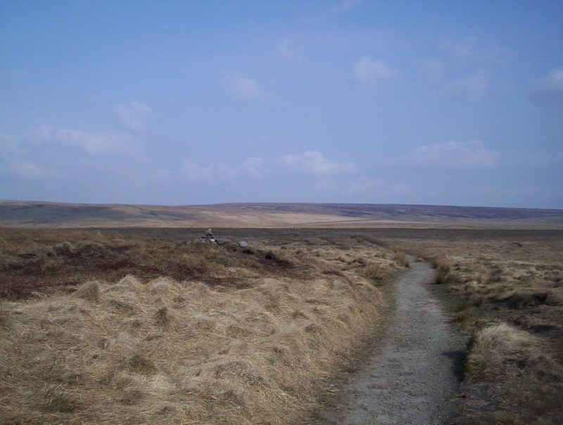
......on a well maintained path......
......to reach the main Rochdale to Huddersfield road.
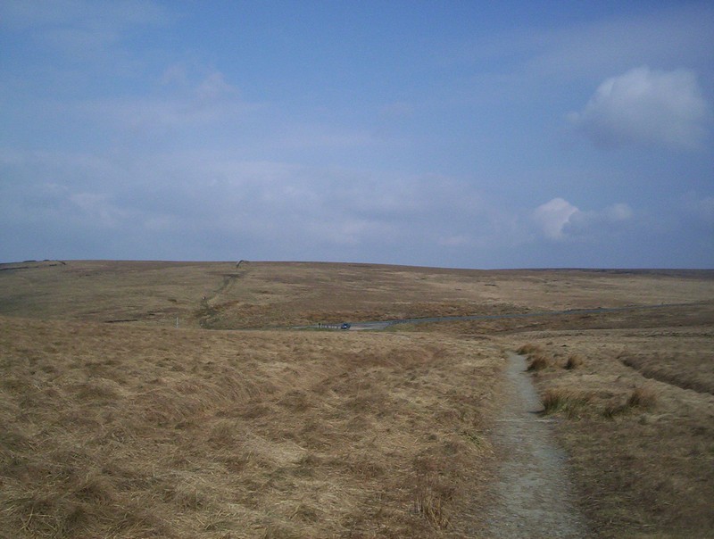
Beyond the road the path climbs slowly across moorland to reach....
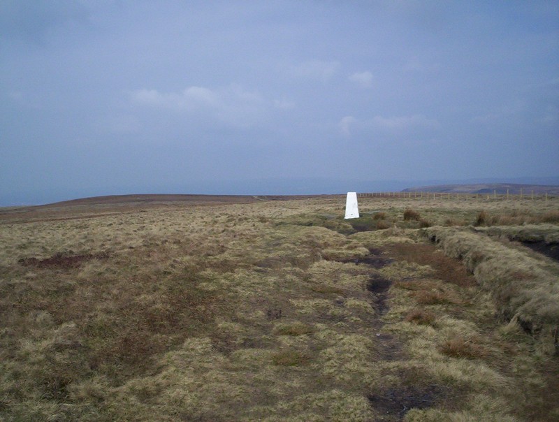
......the trig point on White Hill.
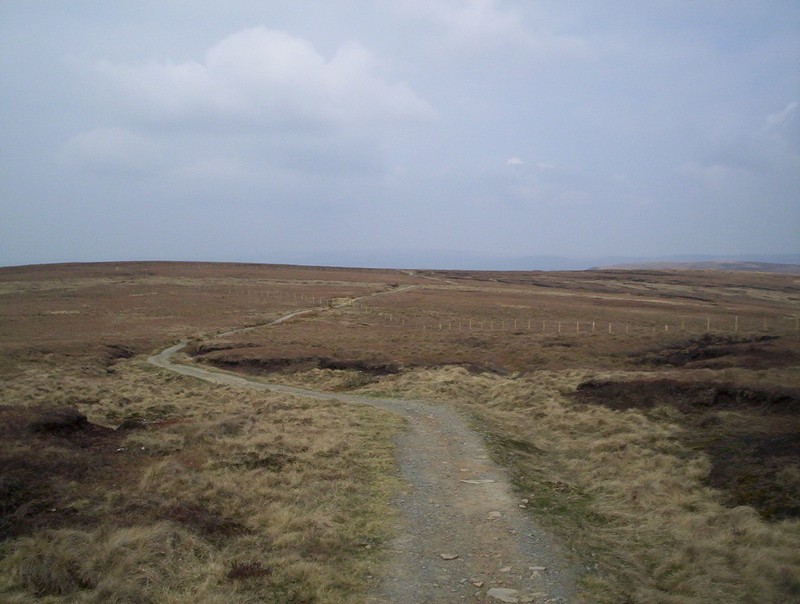
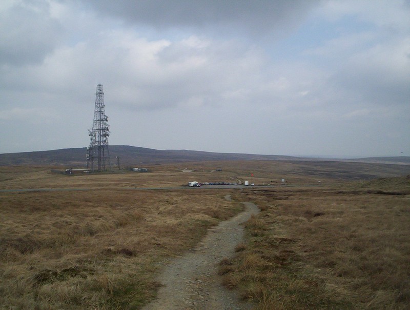
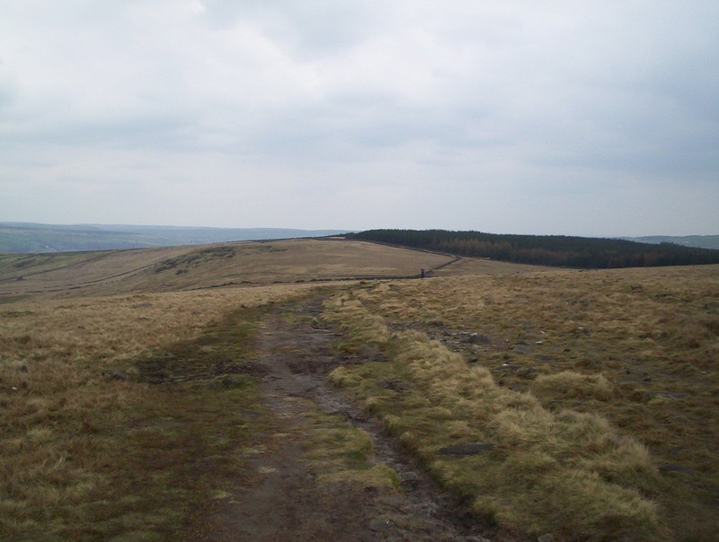
Beyond White Hill there's a broad track which leads.....
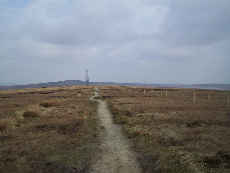
.......unerringly towards this communucation mast and probably the most unpleasant section of the PW.
First the Oldham to Ripponden road is crossed and then....
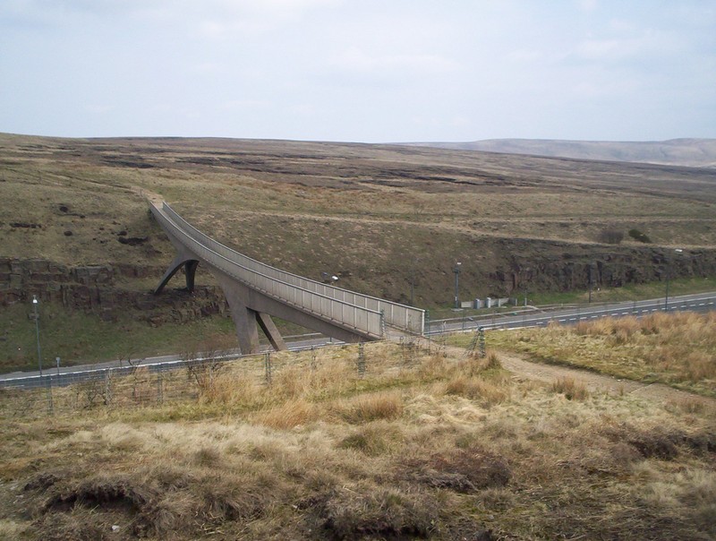
......the M62 is reached and crossed on this footbridge. The view eastwards from this bridge of the motorway junction is so awful I decided not to take a photo of it. For about half an hour all that could be heard was the continual roar of traffic.

Soon though, the modern world is left behind as the moors are crossed towards Blackstone Edge.
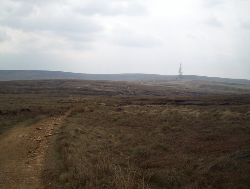
A view looking backwards towards the communications mast by the M62.
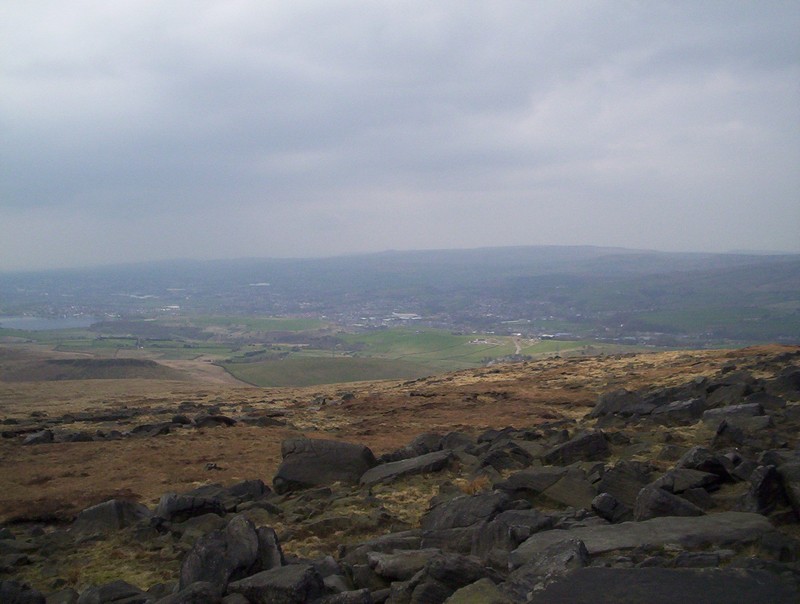
Soon Blackstone Edge is reached with views over Littleborough and Rochdale.
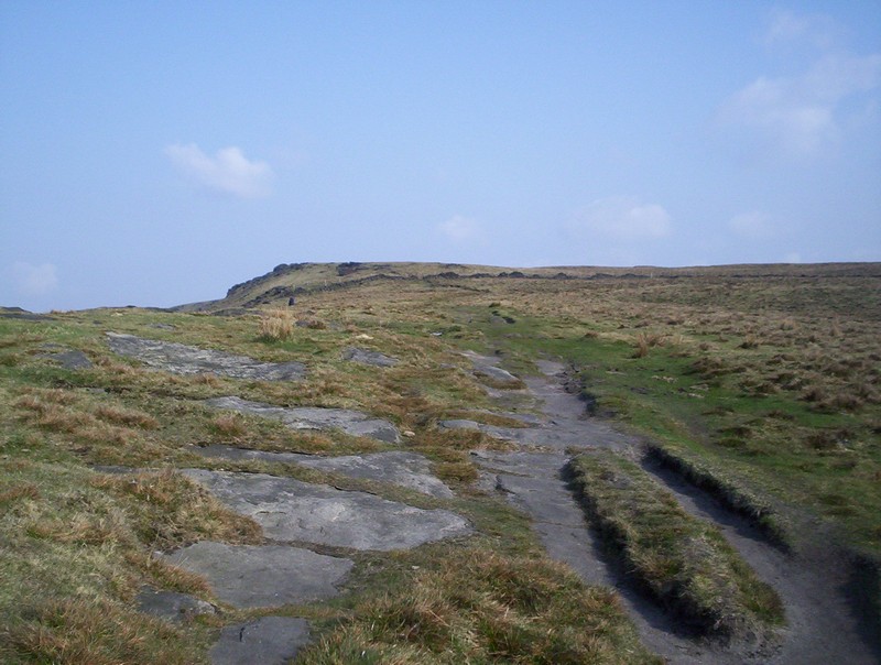
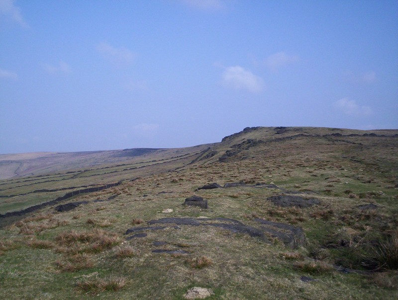
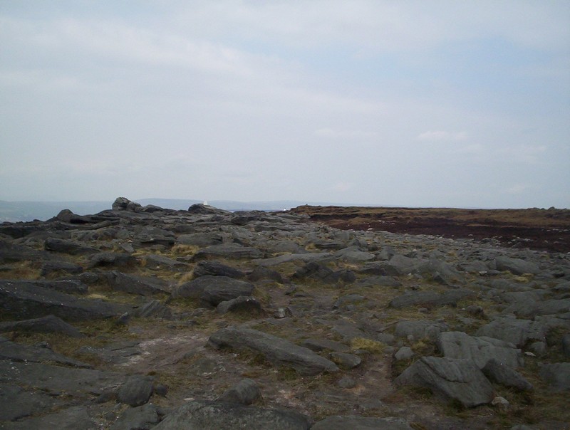
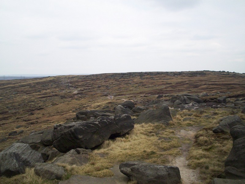
The PW follows the edge between rocks and peat...
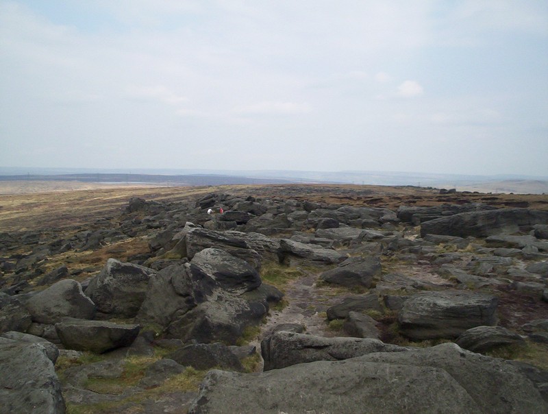
......towards the trig point....
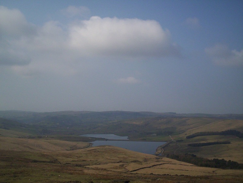
.....on a huge boulder looking down to one of the reservoirs which the PW follows later.
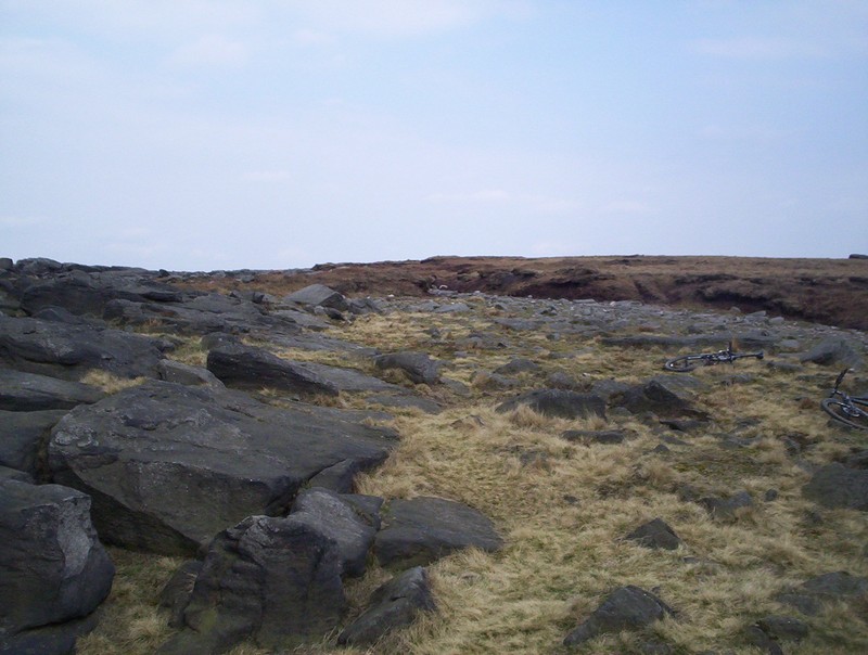
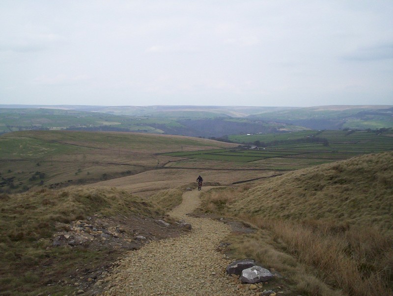
The section coming down from Blackstone Edge is extremely rocky and the two mountain bikers were having great difficulty on this track.
At times the path isn't very clear through the boulders but it's clear further down....
......as a broad track leads down....
......to this ancient milepost.
A sharp turn to the left finds the PW heading along the course of an old Roman Road.....
.......although these stones are probably somewhat later.
The PW now follows the first of many water channels that feed the various reservoirs on the moors above Littleborough.
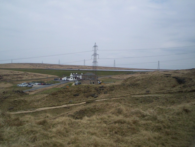
Dropping down off the moor to the White House Inn and Blackstone Edge reservoir.....
....and after crossing the road the way ahead is across the dam...

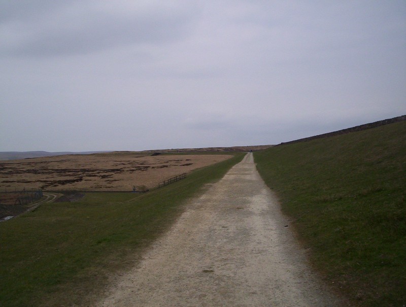
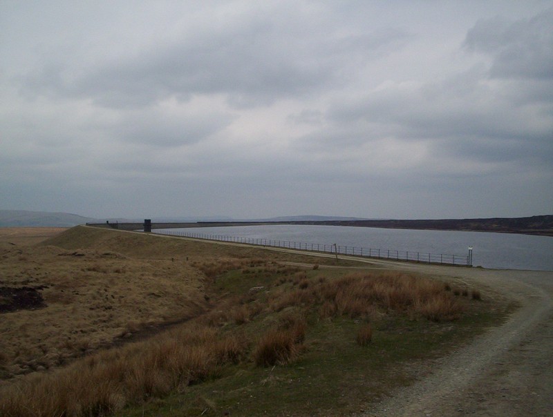
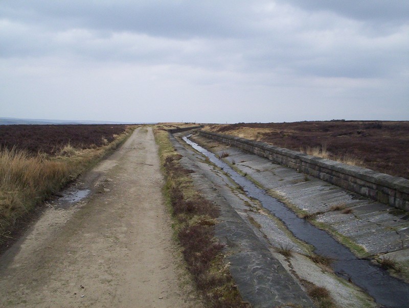
.....and along the broad vehicle access track to the next group of reservoirs by the side of the Head Drain.
These impressive rock outcrops are popular with rock climbers.
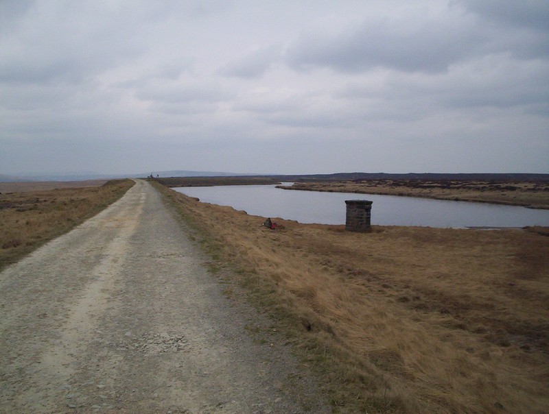
The PW passes Light Hazzles Reservoir....
......and approaches Marland Reservoir....
.....where it runs along the top of the very long dam.
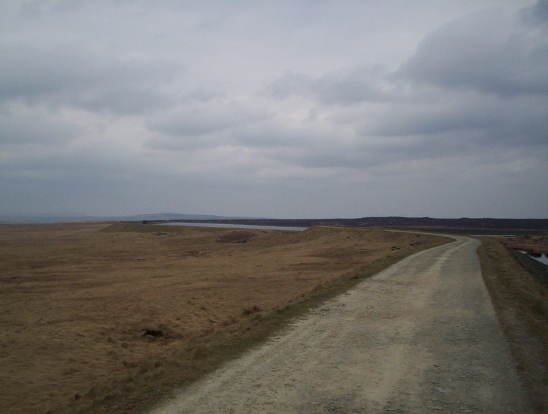
Beyond the reservoir the track continues along the Warland Drain....
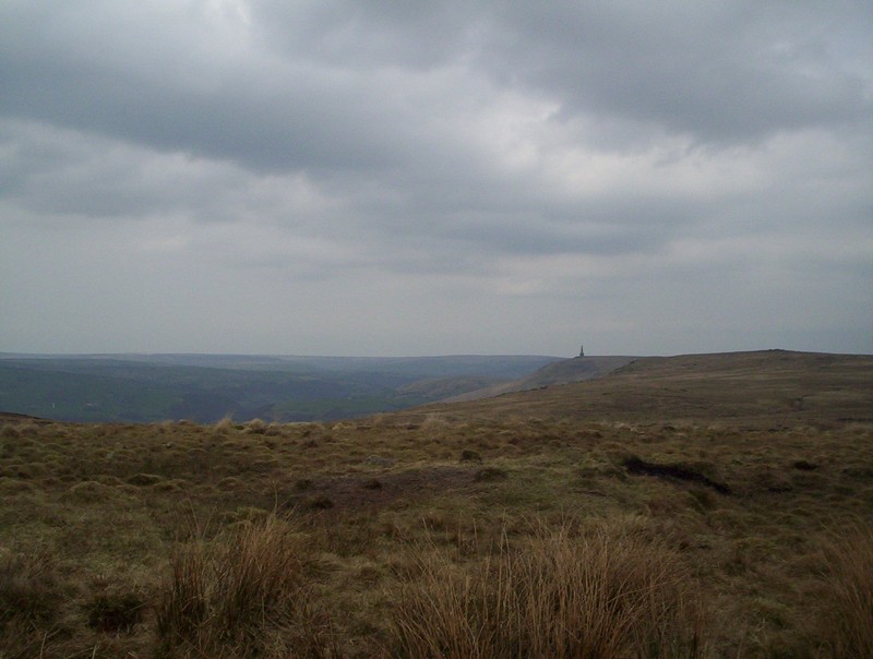
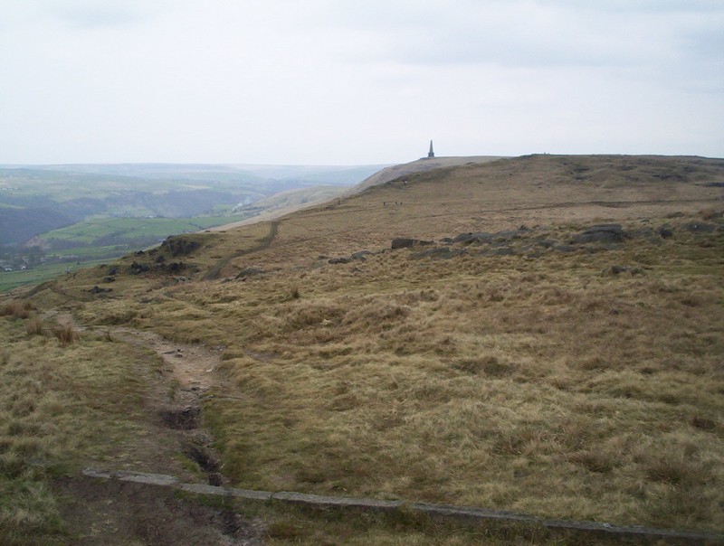
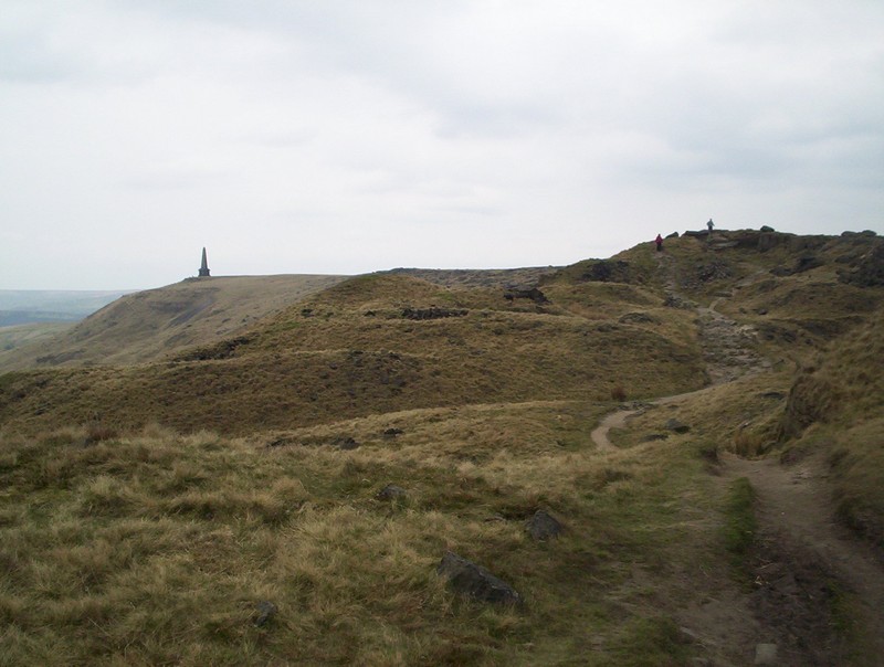
.....until finally one of the PW's major landmarks comes into view across the moor; Stoodley Pike.
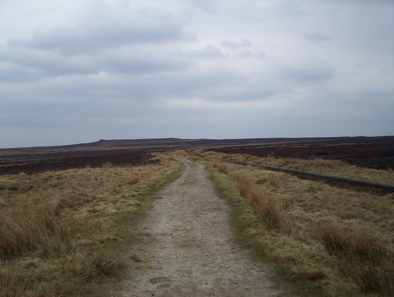
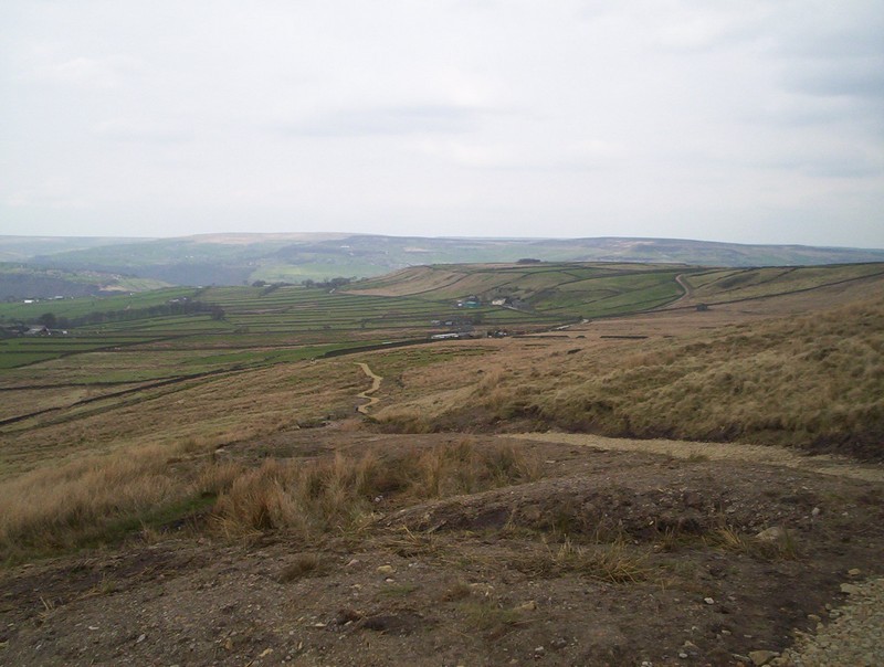
There are several more miles of plodding across bleak moorland....
......until a path is taken....
......across the moor towards....
.....the hillside above Mankinholes (famous among PW walkers for its youth hostel).
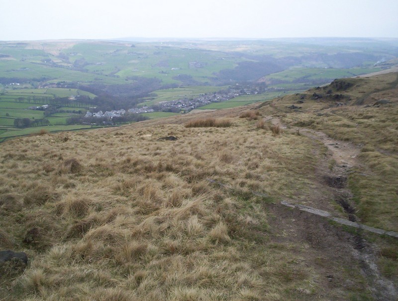
The PW drops down to a veritable crossroads of footpaths.....
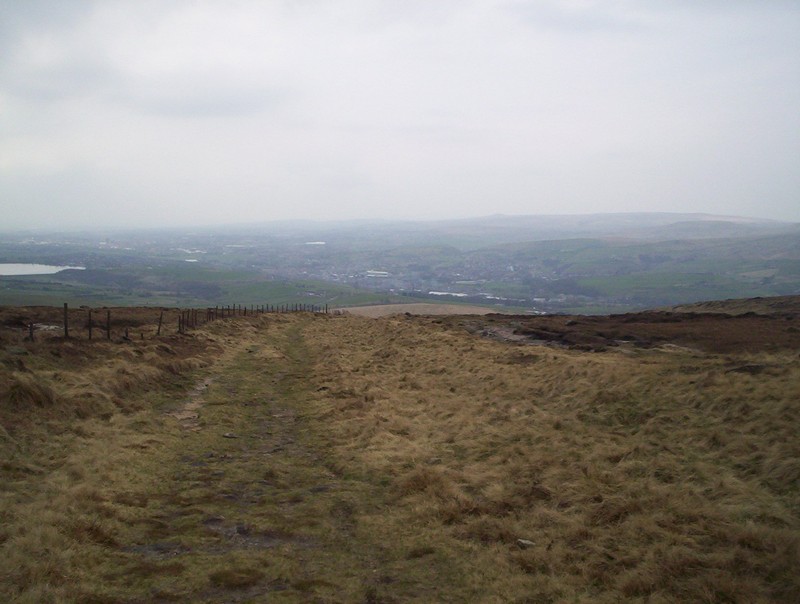
....with Todmorden seen down in Calderdale.
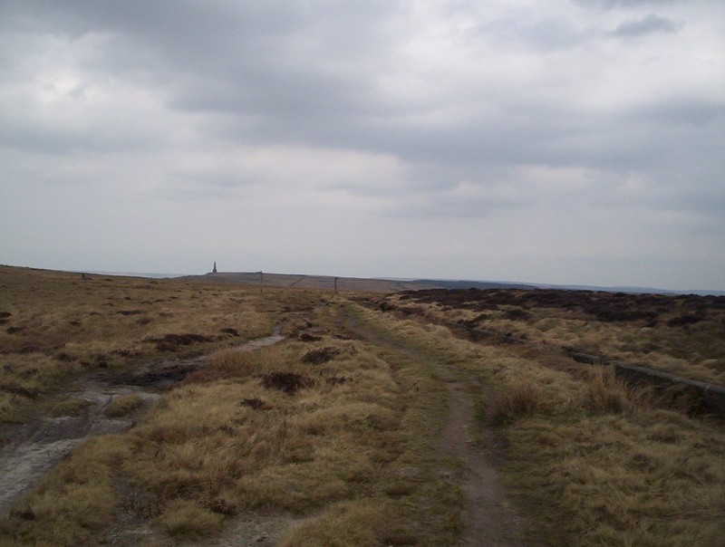
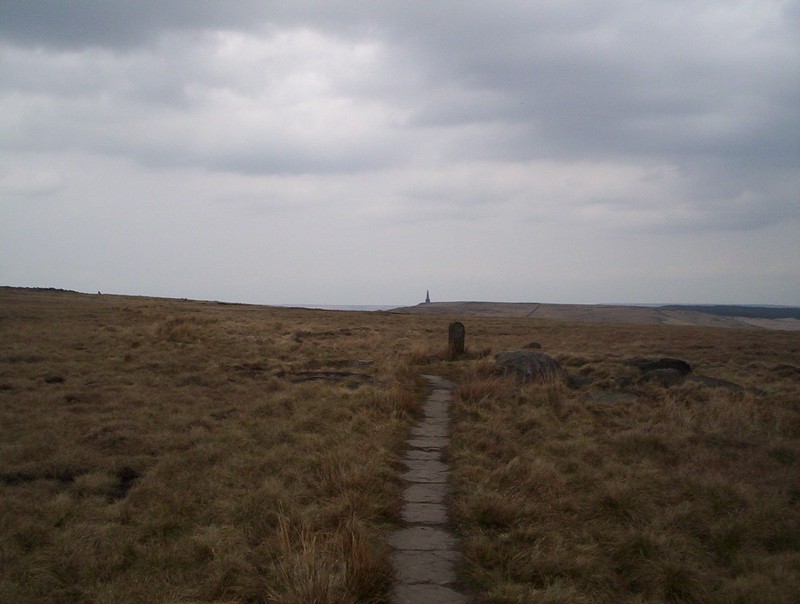
Leaving the crossroads the PW reascends the moor towards Stoodley Pike....
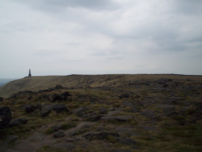
...initially through boulders....
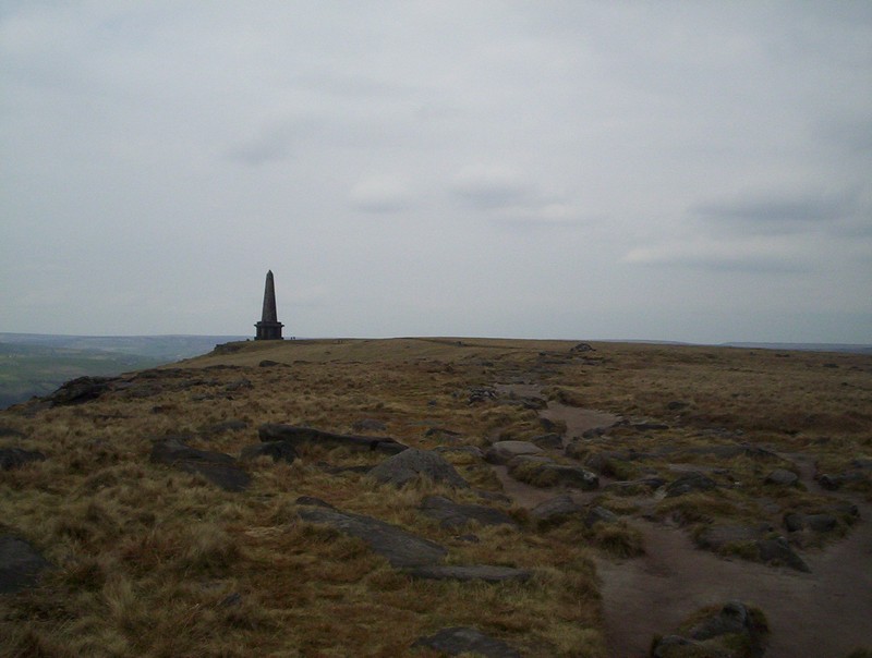
....and then on a good path....
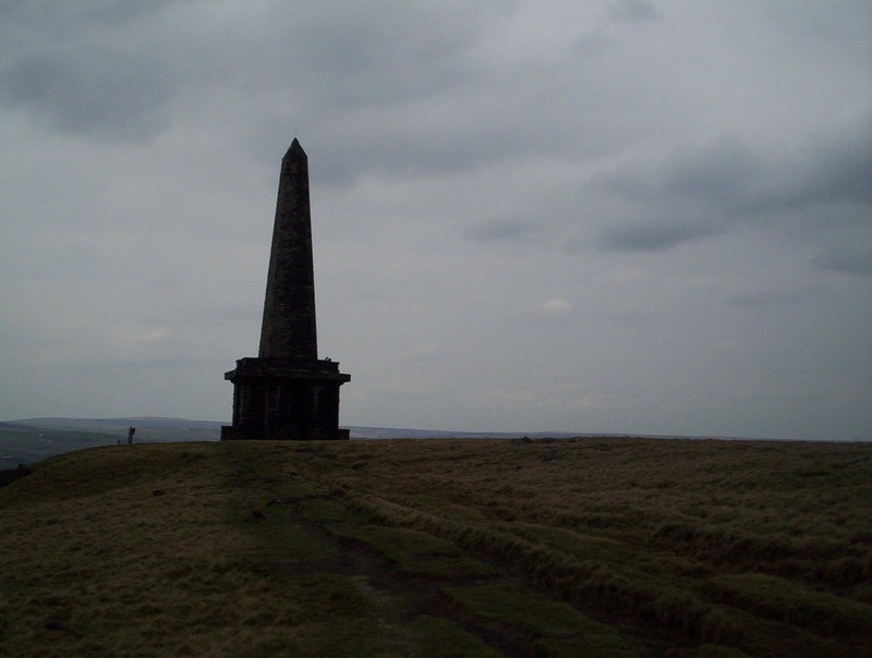
....to reach the monument.
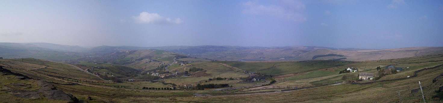
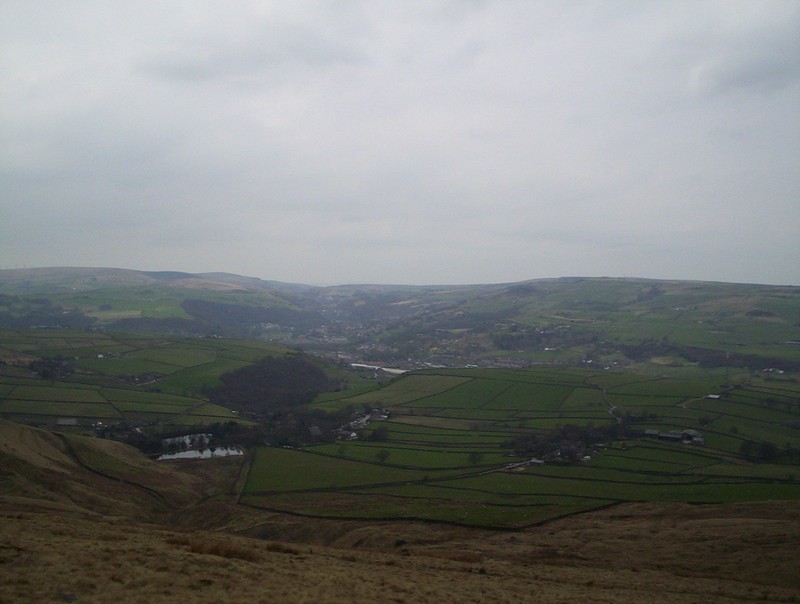
The view over Calderdale from Stoodley Pike is extensive. The next day's walk crosses the moors to the right of the photo. Click on the photo to see a larger image.
Beyond the Pike the PW begins its steady descent into Calderdale.
Much of the way is a well made path.....
......across the moor.....
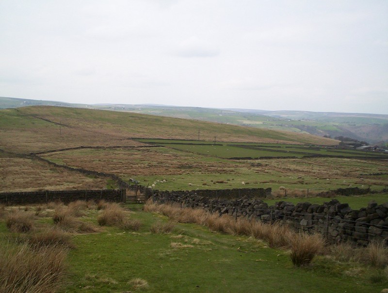
......with a short section across fields.....
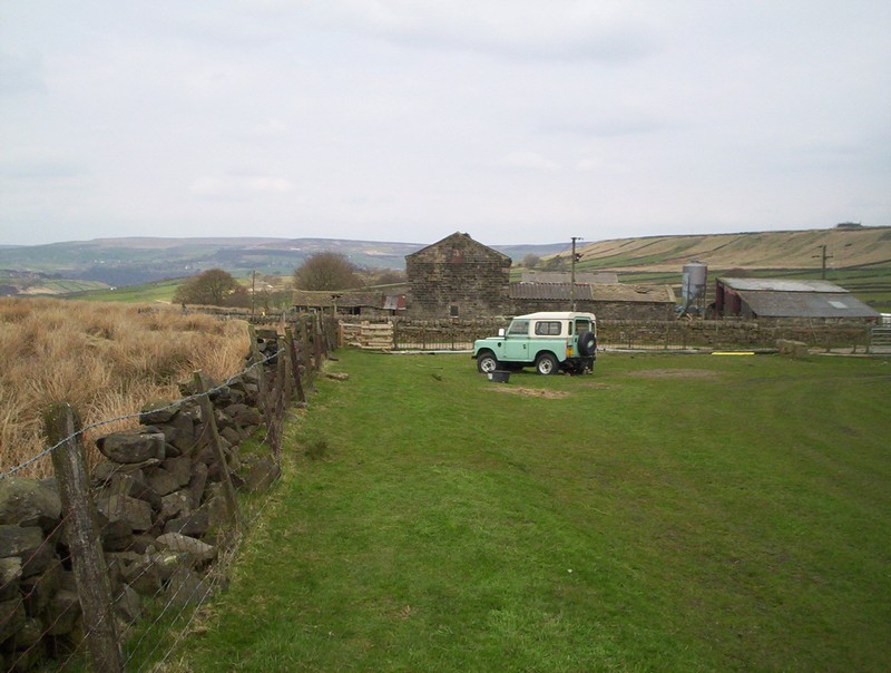
....to Lower Rough Head farm....

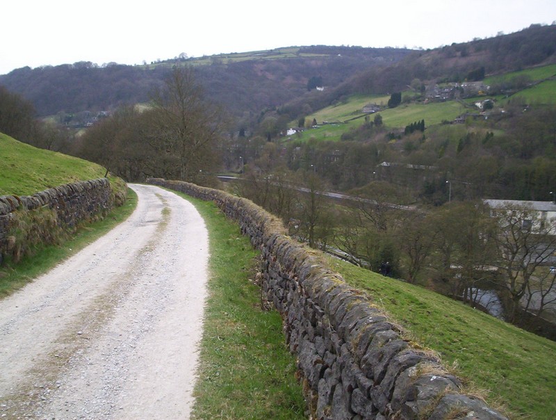
.......and then down a broad lane.....
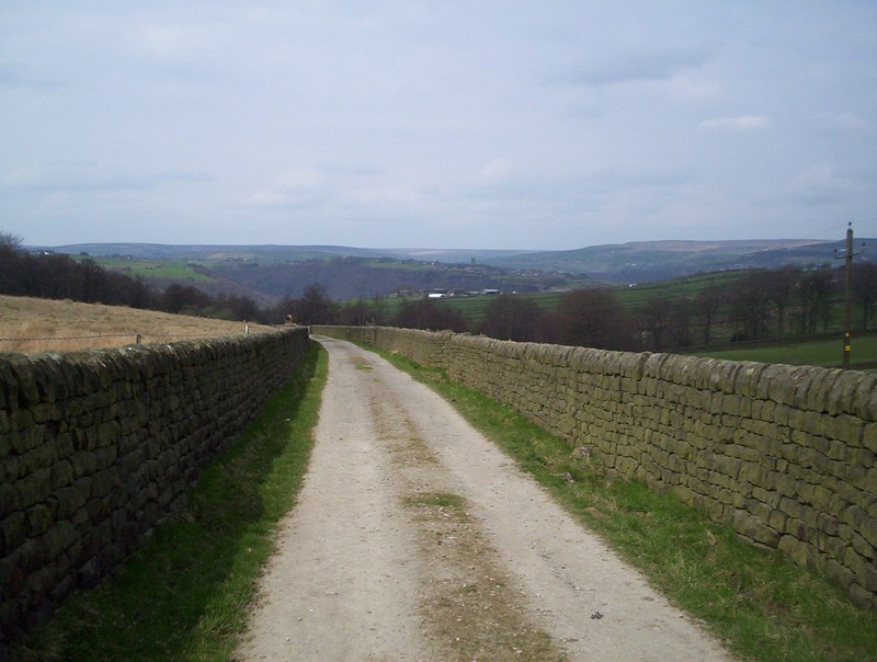
........through drystone walls.......
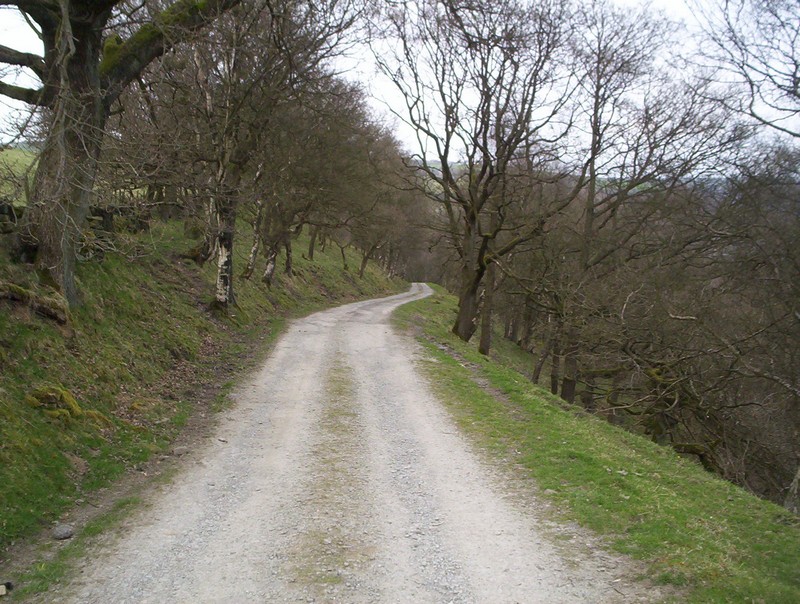
........a wooded valley......
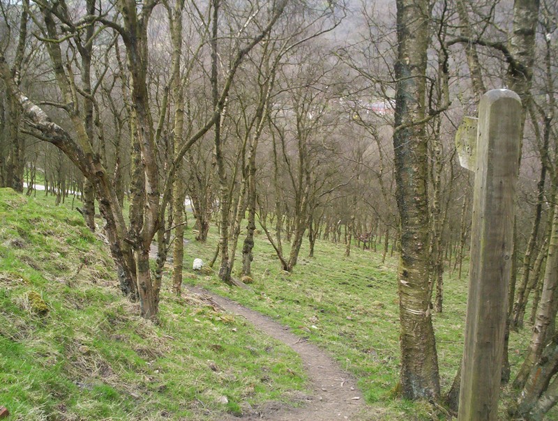
........a path through the woods.....
.......and finally down hill......
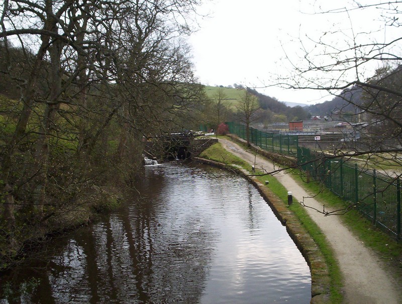
.......to reach the canal just west of Hebden Bridge at Charlesworth. I ended the walk at this stage and headed off to the railway station in Hebden Bridge. Photos of this canal walk can be seen in the next day's walk of the Pennine Way from Hebden Bridge to Stanbury.
Next stage: Hebden Bridge to Stanbury