|
|
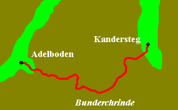
KANDERSTEG TO GSTEIG
Day
11 Friday 18.8.00
|
|
We
woke to rain and distant thunder. The forecast was for a mixture of weather so
we decided to go as far as the tree line and see how the weather progressed. The
path followed the Kander valley as far as the Lotschberg railway tunnel and then
climbed steeply uphill through forests; a very unpleasant walk due to the
extremely high humidity.
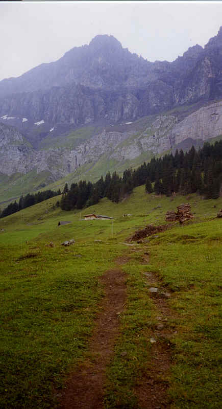
Uschental and the Lohner
Looking up the Uschenetal towards the Felsenhorn
The Bunderchrinde from the east.
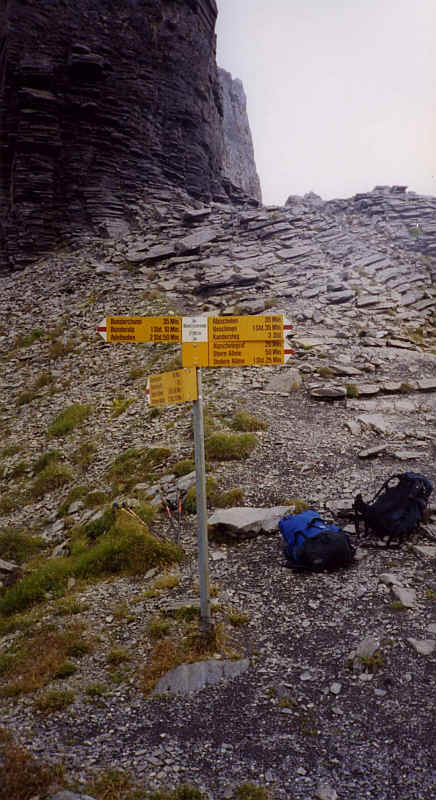
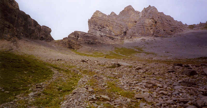
I had to include a least one Swiss Wanderweg signpost. This is the one perched on the top of the Bunderchrinde.
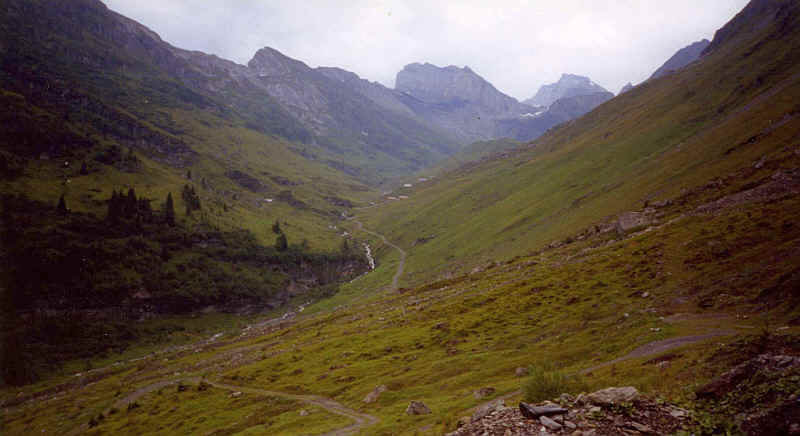
The Gasteretal and Balmhorn from Bunderchrinde.
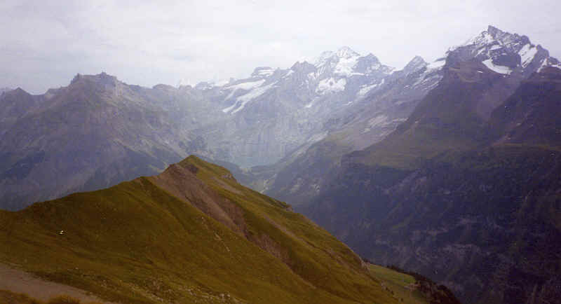
Blumlisalp and Hohturli from Bunderchrinde
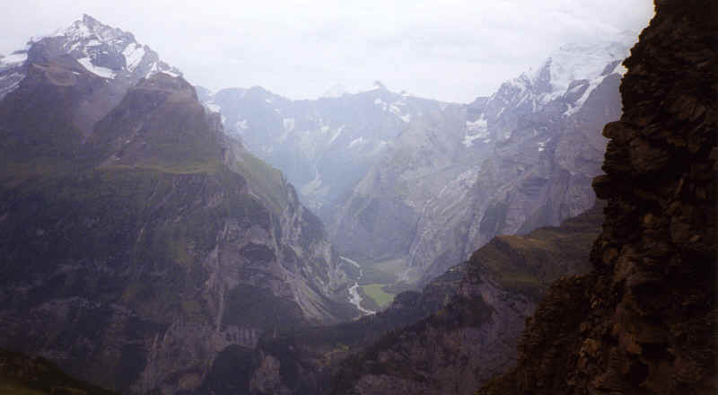
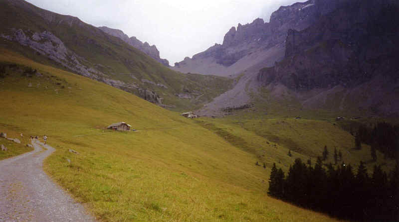
Here there were surprisingly good views of the Jungfrau, Monch and Eiger as well as deep down into the Gasternaltal, and a superb view down to Adelboden. After lunch we continued down the path across scree until we eventually reached the lane at Bonderalp.
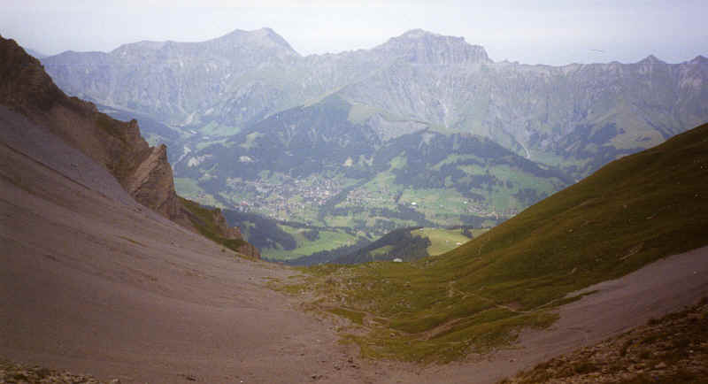
Adelboden from the Bunderchrinde
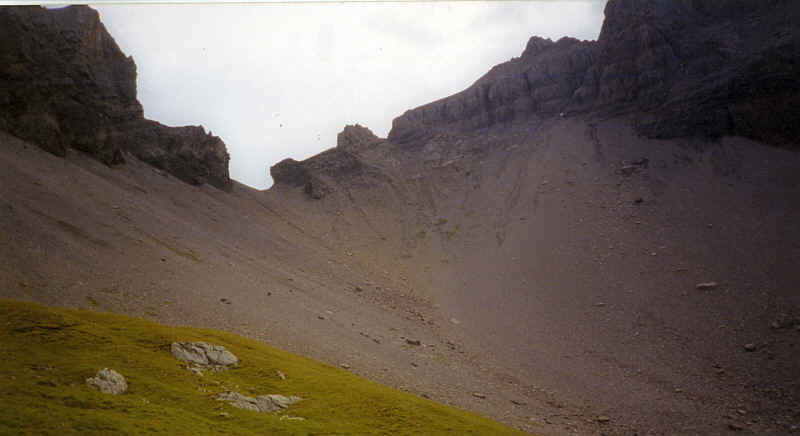
Bunderchrinde from the west - the path zig-zags down the scree.
Bunderchrinde from the Vordere Bunder
Continuing along tarmac we walked down to Boden, where we
stayed in preference to Adelboden.
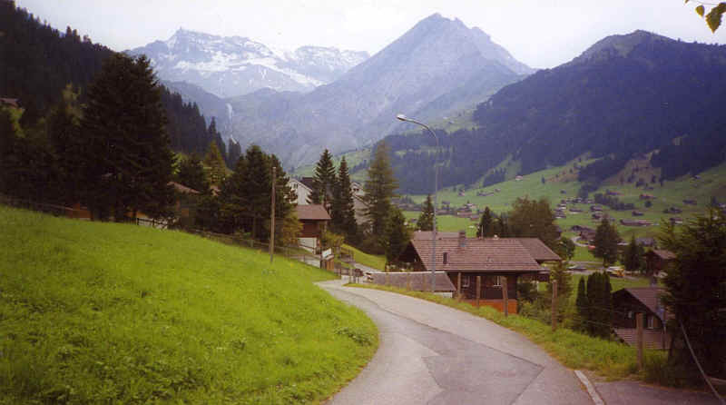
Just to show that not all the Alpine Pass Route is mountain walking here is a view of the gentle walk towards Boden with the Wildstrubel in the background.