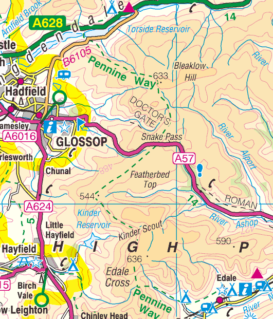
Day 1 Edale to Torside
Track of the route from Edale to Torside taken from my SPOT GPS tracker
Edale station was my starting point at 08.45 on a beautiful March Saturday morning in 2010.

The distinctive parish church in Edale
village.
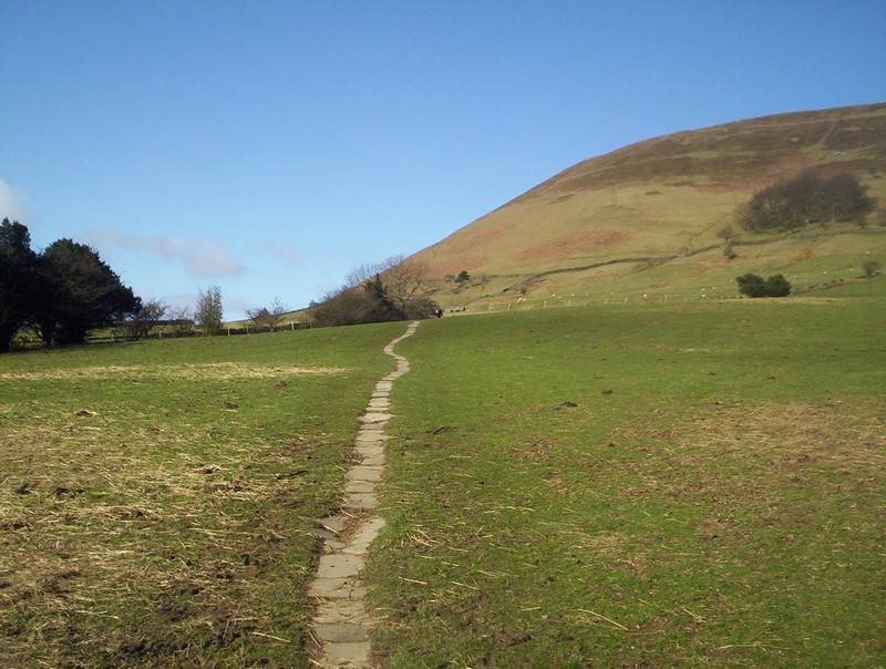
The beginning of the Pennine Way climbs
out of Edale over paving stones.
Looking back down hill towards Edale and the Hope Valley.
The PW now drops down to the hamlet of
Upper Booth. The dark hill in the background is Kinder Low.
Beyond Upper Booth the PW follows a
broad track towards the hills.
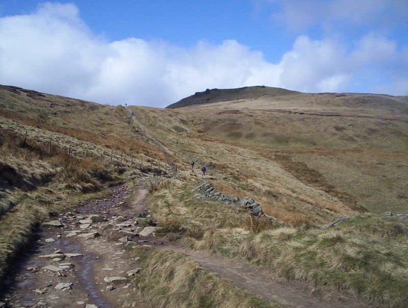
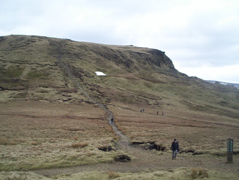
The first real climb of the PW comes
into view.
Beyond the intake wall the climb up
Jacob's Ladder can be seen, with the alternative easier route sloping
uphill, first to the left and then to the right.
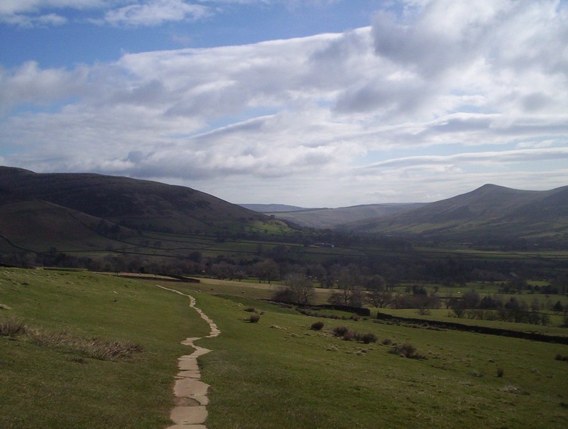
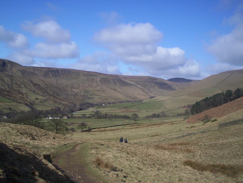
A view looking back to Mam Tor across
the Hope valley.
The beginning of Jacob's Ladder, now a
paved staircase.
Looking down Jacob's Ladder from near the top.
From the top of the staircase the next
objective, the edge of Kinder Low, can be seen.
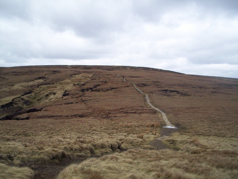
The PW now climbs steadily towards a path junction near Edale Cross.
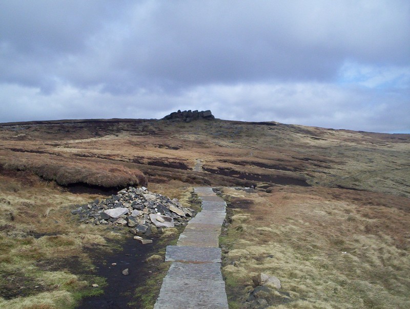
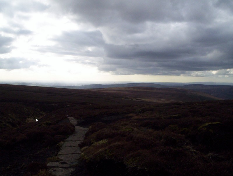
As the PW crosses the moor the first of
the paved sections is encountered. These really make progress over
the peat easy.
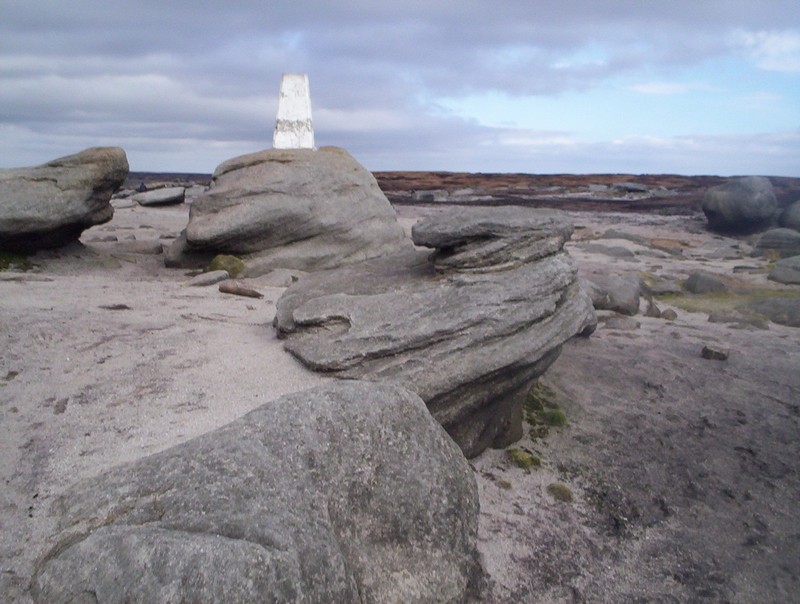
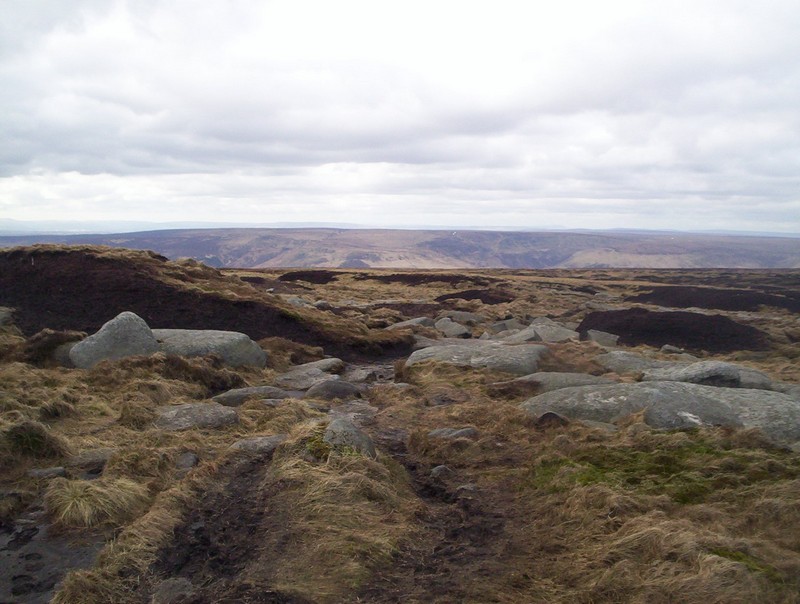
The trig point on the rocky tors of
Kinder Low at 633m above sea level.
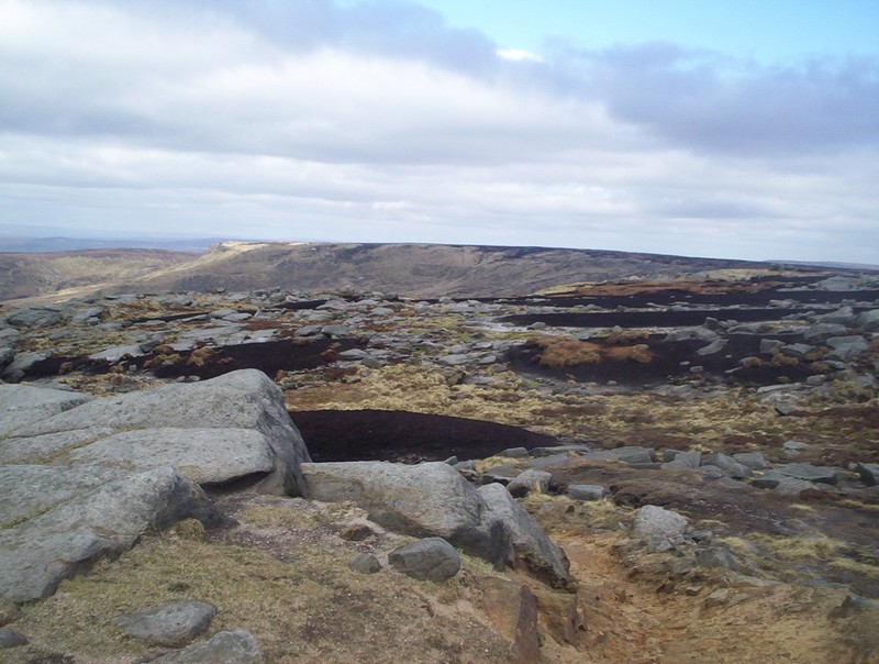
The view of the vast expanse of moorland
that opens up once past Kinder Low's summit is extensive. The walk
for next hour or so is a delight as the path follows the edge of the
Kinder Plateau, with stunning views across to the west.
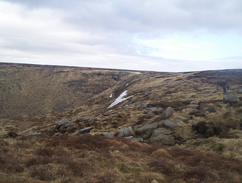
The first view of Kinder Downfall.
Look closely and you can see the cloud's
of spray being blown uphill from the waterfall by the strong south
westerly wind.
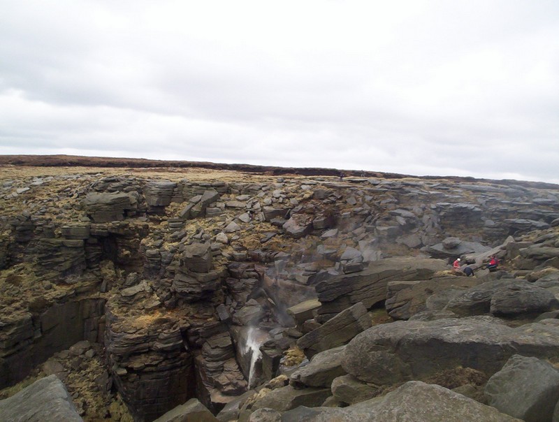
There's not a lot of water going over
the falls but the spray makes me think it's started to rain.
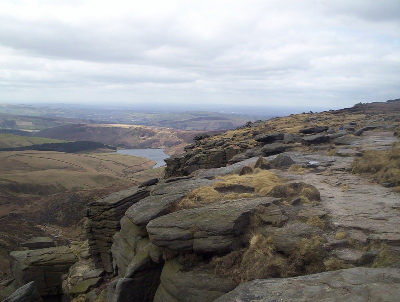
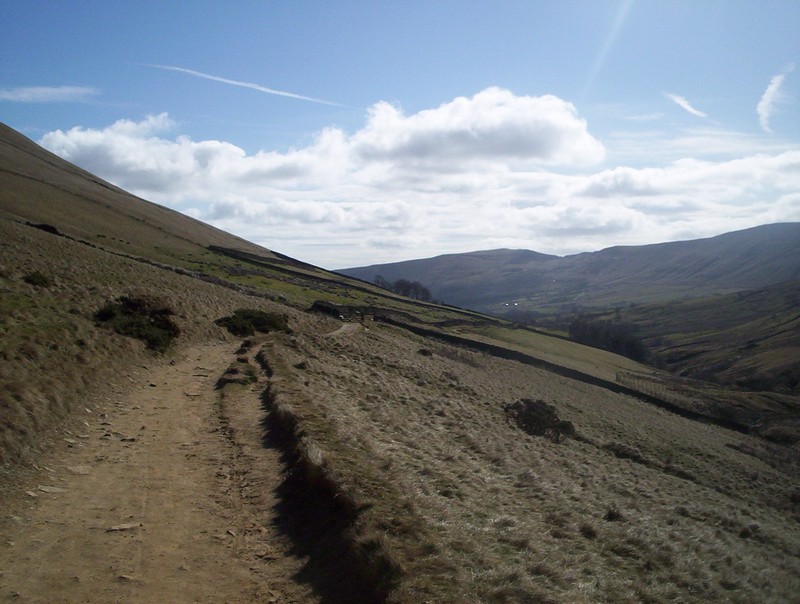
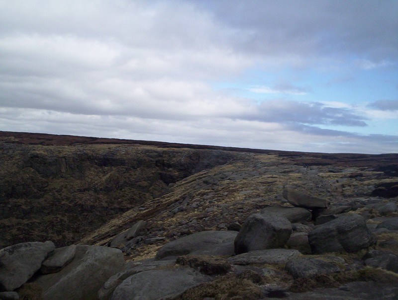
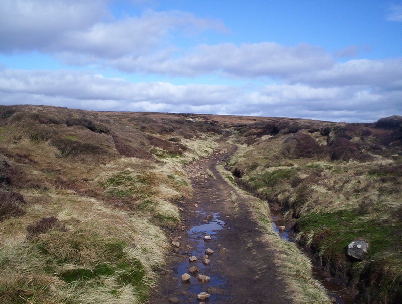
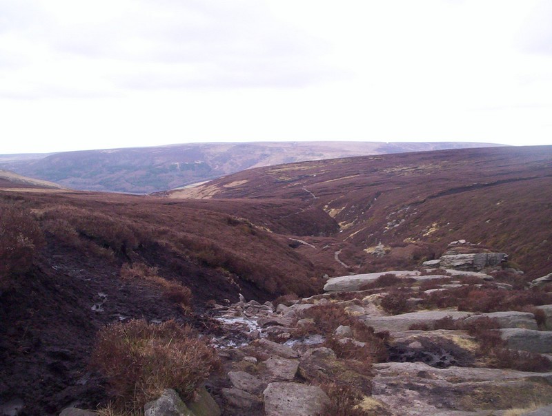
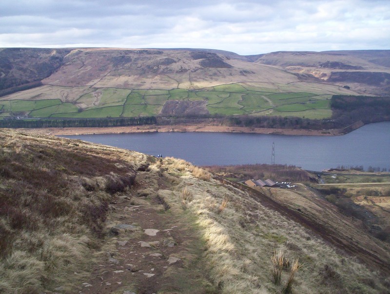
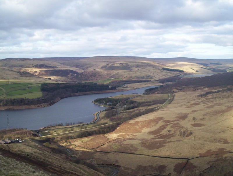
In places the PW path runs very close to
the cliff edge - the lake is Kinder Reservoir.
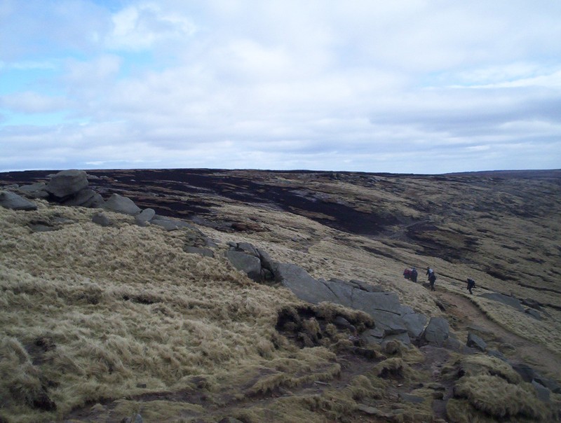
Looking back down to Kinder Downfall from my lunch break spot.
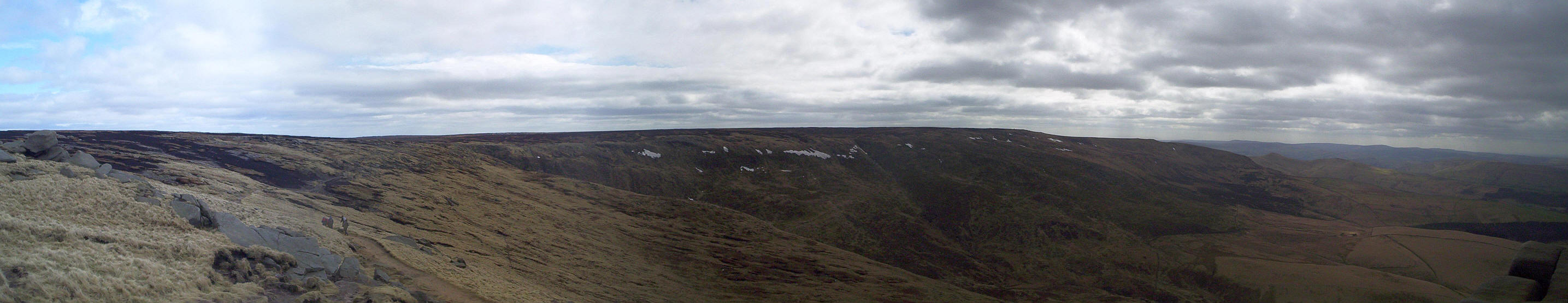
A panorama across the whole of the Kinder plateau.
Click on the photo to see a larger image.
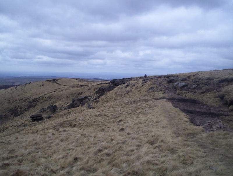
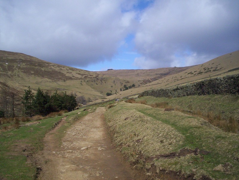
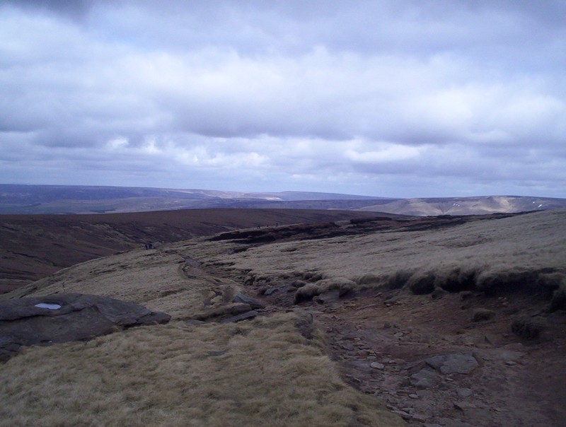
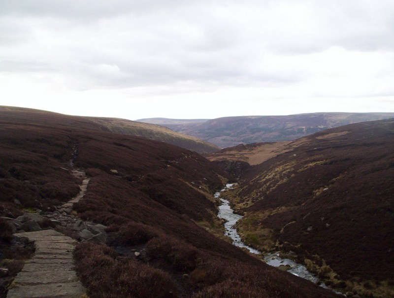
Beyond the Downfall the PW heads north
west, gradually loosing height.
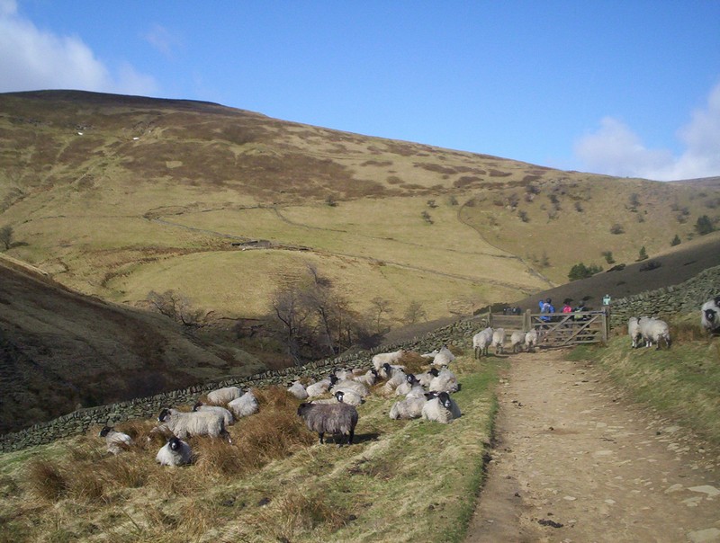
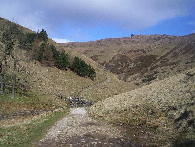
The PW drops down to William Clough.....
.......where there is a signpost at the
crossroads between the PW and the Snake Path.
From here the PW heads up to Mill Hill
over more paving stones.
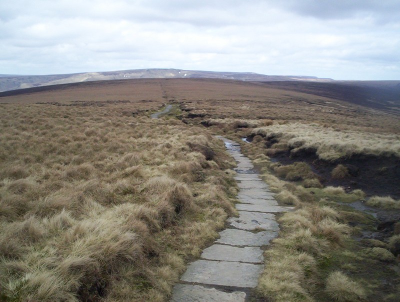
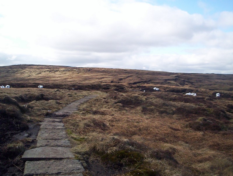
From Mill Hill the PW turns through 90
degrees and heads across the notoriously boggy moorland towards
the Snake Pass road. The entire distance of about 4km is now on a
superbly paved path, which has totally tamed the once feared
Featherbed Moss. If you have to step of the path, though, look where
you put you feet as in places it is extremely soft and boggy!
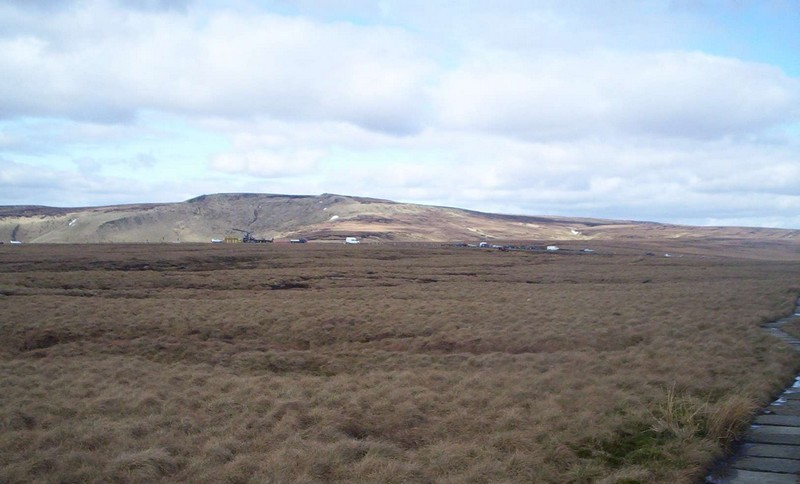
The A57 Snake Pass road comes into view
with the next hill the PW climbs, Bleaklow, in the background.

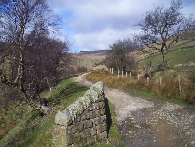
Beyond the road the paving stones
continue...
....before the PW reaches the Devil's
Dyke .
The climb to Bleaklow, from the road, is
just 121m and relatively easy, as the track twists and turns through
the peat hags and along the edge of various streams. In misty weather
it won't be a pleasant place to be as the path sometimes almost
disappears, but on a clear day it's a relatively simple walk.
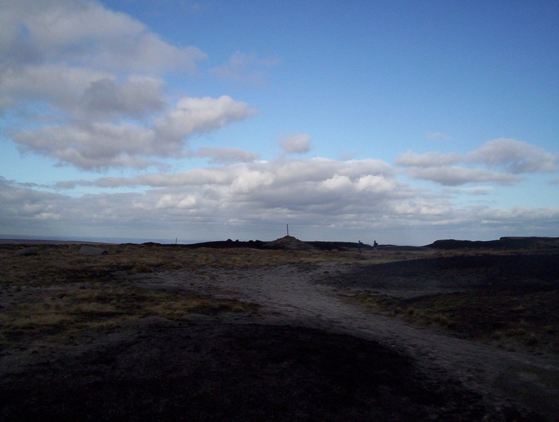
The summit of Bleaklow is this
insignificant cairn with a pole sticking out of it. The value of a
GPS in misty weather on this hill is obvious. There are a few small
stone PW markers on the track over Bleaklow, but careful navigation
is important here.
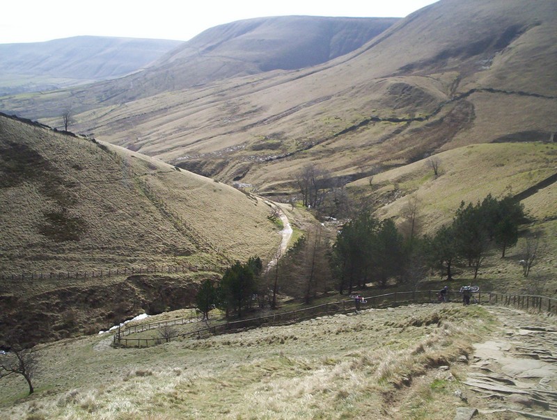
Beyond Bleaklow Head the PW drops down
steadily to Far Moss....
...and then turns west to join Torside
Clough, seen below from the improbably named Torside Castle.

Look back up the upper part of Torside Clough from the "Castle".
The valley deepens as it falls down into
Longendale.
Once again the PW has long reconstructed
sections of paving stones.
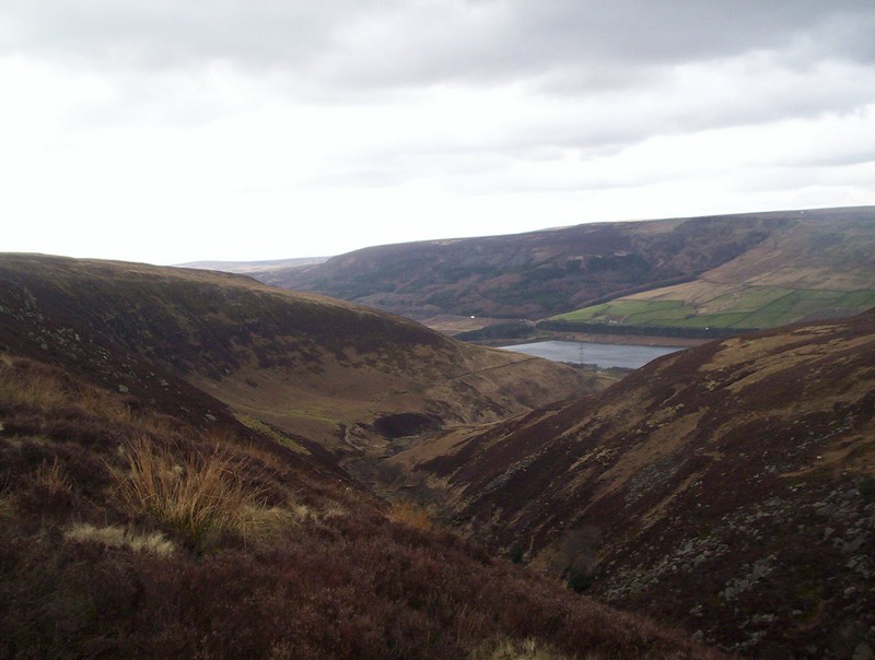
The first view of Torside reservoir.
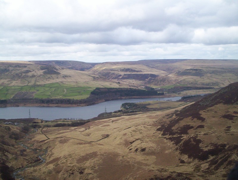
Looking across the reservoir to Crowden
and its youth hostel near the trees. The next stage of the PW, on to
Standedge, crosses the moorland beyond the reservoir.
The path down the side of Torside Clough
clings to the steep hillside and is quite dramatic with some quite
intimidating drops.
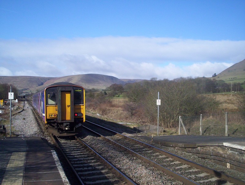
Looking up the valley towards Woodhead. The track of the old railway, now a cycle path can clearly be seen. This section of the PW finishes where it joins the course of the railway near Reaps Farm, seen in the bottom right corner of the photo. I then continued along the railway line for the three miles down to Hadfield railway station, arriving there at 17.30, just under 9 hours from Edale.